


Get to know Anju District
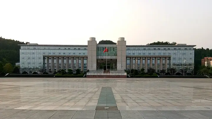
Photo adjustments
Full-frame source proportionally resized and converted to WebP for display. No subject alteration. Source-supplied marks and edits remain; cards may crop the view.
- Administrative area
- District · 市辖区
- Part of
- Suining
- Chinese name
- 安居区
- Local areas
- District guide
Area & population
- Area in the source
- 1,258.00 km²
- Population · 2020 census
- 431,310
Source: cited geographic source, as of the dates shown.
History
The name Anju was adopted in 593, when Rougang County (柔刚县) was renamed after a local waterway. The modern district dates to December 2003, when Suining’s former Shizhong District (市中区) was divided into Anju and Chuanshan District (船山区).
What to see
Pilu Temple (毗庐寺), Shiguang Lianhua Lake (时光莲花湖) and Dixin Grand Canyon (地心大峡谷) are among the local destinations. Within the urban area, Qiong River Ecological Wetland Park (琼江生态湿地公园) adds a waterside landscape, while Fenghuangqi (凤凰栖) is a park themed around phoenix culture.
Food and local products
Local products include Anju Shatian pomelos (安居沙田柚), sweet potatoes, golden pears, Da’an Shu beef (大安舒牛肉) and Ximei yousu (西眉油酥).
Sources for this guide
安居概况 - 遂宁市安居区人民政府 · Anju District Government
Original English written from the listed sources and checked sentence by sentence against quoted extracts by a separate reviewer. Updated 2026-09-27.
Explore Anju District
Core places to explore, with English and Chinese names.
Anju District 安居区
Plan your visit
Getting there
Anju District is about 30 km in a straight line from central Suining. Search for 安居区 in a map app to find stations and your accommodation.
Where to stay →More in Suining
Sources & geographic information
Administrative names and parent areas: Official geographic directory · Reference date 2026-09-06.
Map data © OpenStreetMap contributors. Pins mark approximate centres, not entrances or boundaries.