


Get to know Daying County
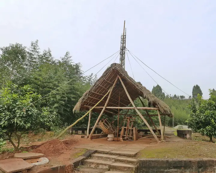
Photo adjustments
Full-frame source proportionally resized and converted to WebP for display. No subject alteration. Source-supplied marks and edits remain; cards may crop the view.
- Administrative area
- County · 县
- Part of
- Suining
- Chinese name
- 大英县
- Local areas
- County guide
Area & population
- Area in the source
- 703.00 km²
- Population · 2020 census
- 387,299
- Administrative seat
- Penglai
Source: cited geographic source, as of the dates shown.
History
The present county was established on 28 December 1997. Its older salt heritage is represented by the Zhuotongjing Wells (卓筒井), associated with deep drilling and extracting brine for salt production.
What to see
China Dead Sea (中国死海) is a flotation resort. Other places named in the county government’s guide include the Zhuotongjing site, Penglai Park (蓬莱公园), Kuishan Temple (魁山寺) and Jiguang Temple (寂光寺).
Food and local products
The countryside produces Hebian white lemons (河边白柠檬), Tianbao Wendan pomelos (天保文旦柚) and Daying green Sichuan pepper (大英青花椒). The county has a humid subtropical monsoon climate, with warmth and rainfall occurring in the same season.
Sources for this guide
首页 - 大英县人民政府 · Daying County Government
大英概况-大英县人民政府 · Daying County Government
Original English written from the listed sources and checked sentence by sentence against quoted extracts by a separate reviewer. Updated 2026-09-27.
Explore Daying County
Core places to explore, with English and Chinese names.
Daying County 大英县
Plan your visit
Getting there
Daying County is about 35 km in a straight line from central Suining. Search for 大英县 in a map app to find stations and your accommodation.
Where to stay →More in Suining
Sources & geographic information
Administrative names and parent areas: Official geographic directory · Reference date 2026-09-06.
Map data © OpenStreetMap contributors. Pins mark approximate centres, not entrances or boundaries.