


Get to know Shehong
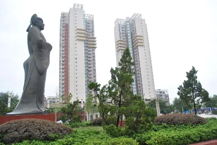
Photo adjustments
Full-frame source proportionally resized and converted to WebP for display. No subject alteration. Source-supplied marks and edits remain; cards may crop the view.
- Administrative area
- County-level city · 县级市
- Part of
- Suining
- Chinese name
- 射洪市
- Local areas
- County-level city guide
Area & population
- Area in the source
- 1,497.00 km²
- Population · 2020 census
- 732,380
Source: cited geographic source, as of the dates shown.
History
A county called Shejiang (射江) was established in 555 under the Western Wei. It took the name Shehong during the Northern Zhou, and the county became a county-level city on 18 November 2019.
What to see
Chen Zi’ang’s Reading Terrace (陈子昂读书台) stands on the rear slopes of Jinhua Mountain (金华山) in Jinhua Town (金华镇). The south-facing complex consists of front, middle and rear courtyards. Within it, Shiyi Pavilion (拾遗亭) has a wooden inscription of an account written by the Northern Song poet and painter Wen Tong (文同). Old cypress trees, pavilions and towers also mark the mountain landscape.
Sources for this guide
魅力射洪 - 射洪市人民政府 · Shehong City Government
“前不见古人,后不见来者”:在子昂故里,与千年前的孤独诗魂相遇 - 射洪市人民政府 · Shehong City Government
Original English written from the listed sources and checked sentence by sentence against quoted extracts by a separate reviewer. Updated 2026-09-27.
Explore Shehong
Core places to explore, with English and Chinese names.
Places to explore around Shehong
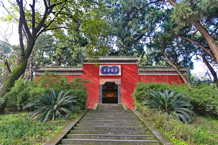 Entrance gate of Chen Zi'ang's Reading Platform (Du Shu Tai), Shehong, Suining ·
 Plan your visit
Getting there
Shehong is about 40 km in a straight line from central Suining. Search for 射洪市 in a map app to find stations and your accommodation.
Where to stay →Build your route
Start with Chen Zi'ang Study Terrace. The linked place guides have entrance and visit details.
Continue with Suining →More in Suining
Sources & geographic information
Administrative names and parent areas: Official geographic directory · Reference date 2026-09-06.
Photo: Chen Zi'ang Study Terrace · Nekitarc · CC BY-SA 4.0. Full frame retained; proportionally resized and converted to WebP. No retouching or changes to the photographed subject. Card displays may crop the view.

Map data © OpenStreetMap contributors. Pins mark approximate centres, not entrances or boundaries.