


Get to know Alian District
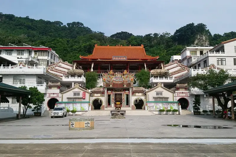
Photo adjustments
Full frame retained; EXIF orientation normalized, proportionally resized to at most 800 pixels and converted to WebP. No generated pixels or subject changes. Cards may crop the display.
- Administrative area
- District · 區
- Part of
- Kaohsiung City
- Chinese name
- 阿蓮區
- Local areas
- District guide
Dagang Mountain
The Dagang Mountain Natural Ecological Area (大崗山自然生態區) covers 80 hectares. Mountain springs, bamboo, woodland and winding paths provide places to encounter wild plants and animals. The Dagang Mountain Scenic Area (大崗山風景區) contains old temples and pagodas, together with hiking trails.
Settlement and produce
Plains indigenous communities lived here before the Dutch arrived in Taiwan (台灣), and Han settlement was established by the late Qing period. Local agricultural products include guavas, jujubes, tomatoes, Xiaoyu watermelons (小玉西瓜) and longan honey (龍眼蜂蜜). Archaeological evidence on Dagang Mountain also points to prehistoric human habitation.
Sources for this guide
高雄市地方創生概況 – 國立中山大學社會實踐網 · National Sun Yat-sen University
Original English written from the listed sources and checked sentence by sentence against quoted extracts by a separate reviewer. Updated 2026-09-27.
Explore Alian District
Core places to explore, with English and Chinese names.
Alian District 阿蓮區
Plan your visit
Getting there
Alian District is about 30 km in a straight line from central Kaohsiung City. Search for 阿蓮區 in a map app to find stations and your accommodation.
Where to stay →More in Kaohsiung City
Sources & geographic information
Administrative names and parent areas: Official geographic directory · Reference date 2026-09-06.
Map data © OpenStreetMap contributors. Pins mark approximate centres, not entrances or boundaries.