


Get to know Yancheng District
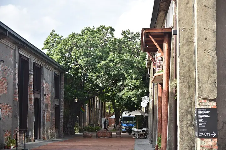
Photo adjustments
Full-frame source proportionally resized and converted to WebP for display. No subject alteration. Source-supplied marks and edits remain; cards may crop the view.
- Administrative area
- District · 區
- Part of
- Kaohsiung City
- Chinese name
- 鹽埕區
- Local areas
- District guide
Area & population
- Area in the source
- 1.42 km²
Source: cited geographic source, as of the dates shown.
Art beside the harbour
At Qiansan Wharf (淺三碼頭), beside Dagang Bridge (大港橋), Curiosity (好奇翹翹板) consists of six seesaws created by Australian studio Amigo & Amigo. Their movement triggers sound and turns oversized eyes. Red, yellow and blue connect the work visually with the nearby Pier-2 Tower (駁二塔) mural.
Clay and leaf textures
At Yizhi Yonghuo (已知用火), ceramic artist Chen Qingming (陳慶銘) presses fresh or dried leaves into clay. Veins and serrated edges remain as surface patterns after the leaves are removed. The pieces are dried, bisque-fired, coloured and glaze-fired. The studio’s workshops also include hand-building and wheel-throwing.
Sources for this guide
拓印土地的紋理 「已知用火」陳慶銘的山林陶藝 - 高雄畫刊-高雄市政府新聞局 · Kaohsiung City Government Information Bureau
公共藝術裝置 點亮港都好奇心 - 高雄畫刊-高雄市政府新聞局 · Kaohsiung City Government Information Bureau
Original English written from the listed sources and checked sentence by sentence against quoted extracts by a separate reviewer. Updated 2026-09-27.
Explore Yancheng District
Core places to explore, with English and Chinese names.
Places to explore around Yancheng District
Plan your visit
Getting there
Yancheng District covers the centre of Kaohsiung City. Search for 鹽埕區 in a map app to find stations and your accommodation.
Where to stay →Build your route
Start with Pier-2 Art Center. The linked place guides have entrance and visit details.
Continue with Kaohsiung City →More in Kaohsiung City
Sources & geographic information
Administrative names and parent areas: Official geographic directory · Reference date 2026-09-06.
Photo: Pier-2 Art Center · ABOVE THE SKY · CC BY-SA 4.0. Full-frame source proportionally resized and converted to WebP for display. No subject alteration. Source-supplied marks and edits remain; cards may crop the view.

Map data © OpenStreetMap contributors. Pins mark approximate centres, not entrances or boundaries.