


Get to know Cianjhen District
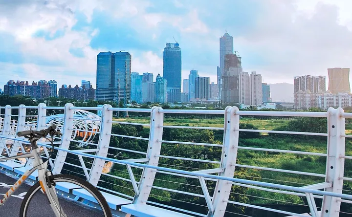
Photo adjustments
Full frame retained; proportionally resized and converted to WebP. No retouching or changes to the photographed subject. Card displays may crop the view.
- Administrative area
- District · 區
- Part of
- Kaohsiung City
- Chinese name
- 前鎮區
- Local areas
- District guide
Workers’ neighbourhoods
The route was commissioned by the city’s Social Affairs Bureau (社會局), with a local history group and National Sun Yat-sen University (國立中山大學) helping trace women’s experiences in the Cianjhen and Caoya (草衙) communities. The former women’s dormitory survives as a plain, rectangular concrete building beside Gongchezhanhou Street (公車站後街).
Streets and waterfront
Cianjhen Ferry Terminal (前鎮輪渡站) once received women travelling from Cijin (旗津) to work in the factories. Lane 138 of Zhenhua Street (鎮華街), nicknamed Ginza Street (銀座街), and Cianjhen Street (前鎮街) were places where workers shopped for clothes, visited beauty salons and went to the cinema.
Sources for this guide
從加工出口區到前鎮社區 她們的生命故事 - 高雄畫刊-高雄市政府新聞局 · Kaohsiung City Government Information Bureau
Original English written from the listed sources and checked sentence by sentence against quoted extracts by a separate reviewer. Updated 2026-09-27.
Explore Cianjhen District
Core places to explore, with English and Chinese names.
Cianjhen District 前鎮區
Plan your visit
Getting there
Cianjhen District covers the centre of Kaohsiung City. Search for 前鎮區 in a map app to find stations and your accommodation.
Where to stay →More in Kaohsiung City
Sources & geographic information
Administrative names and parent areas: Official geographic directory · Reference date 2026-09-06.
Map data © OpenStreetMap contributors. Pins mark approximate centres, not entrances or boundaries.