


Get to know Daliao District
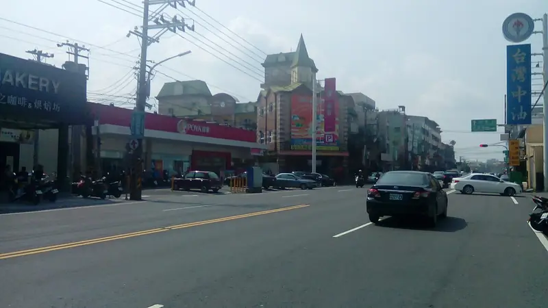
Photo adjustments
EXIF orientation normalized; resized without changing aspect ratio; converted to WebP. No subject edits.
- Administrative area
- District · 區
- Part of
- Kaohsiung City
- Chinese name
- 大寮區
- Local areas
- District guide
Area & population
- Area in the source
- 71.04 km²
Source: cited geographic source, as of the dates shown.
What to see
The Chen Family Compound (陳家大厝) in Shanding Village (山頂里) has three parallel ranges around two courtyards. Its first roof has raised swallowtail ridges; the second range contains the ancestral hall. In Chaoliao Village (潮寮里), the Wu Family Compound (吳家大厝), built in 1934, combines traditional brick and tile with Japanese-style washed-stone materials. Its outer walls carry paintings of rural life.
Getting oriented
Daliao’s 3.8-kilometre cycleway reuses a former Taiwan Sugar Corporation (台糖) railway through Sanlong (三隆), Liuqiu (琉球), Wengyuan (翁園) and Xiliao (溪寮) villages. The municipal magazine’s 2016 account describes rice fields beside the Orange metro line’s eastern terminus.
Food and local products
River-borne sediment contributes to the eastern plain’s fertile soils. Locally grown red beans go into turtle-shaped rice cakes, rice balls, wheel cakes, sausage, rice dishes and iced desserts.
Sources for this guide
高雄市大寮區公所-相思在大寮 · Kaohsiung Daliao District Office
紅豆的故鄉──大寮 · Kaohsiung Government Information Bureau, TAKAO magazine; writer and photographer Li Jiqiang
Original English written from the listed sources and checked sentence by sentence against quoted extracts by a separate reviewer. Updated 2026-09-30.
Explore Daliao District
Core places to explore, with English and Chinese names.
Daliao District 大寮區
Plan your visit
Getting there
Daliao District is about 10 km in a straight line from central Kaohsiung City. Search for 大寮區 in a map app to find stations and your accommodation.
Where to stay →More in Kaohsiung City
Sources & geographic information
Administrative names and parent areas: Official geographic directory · Reference date 2026-09-06.
Map data © OpenStreetMap contributors. Pins mark approximate centres, not entrances or boundaries.