


Get to know Gangshan District
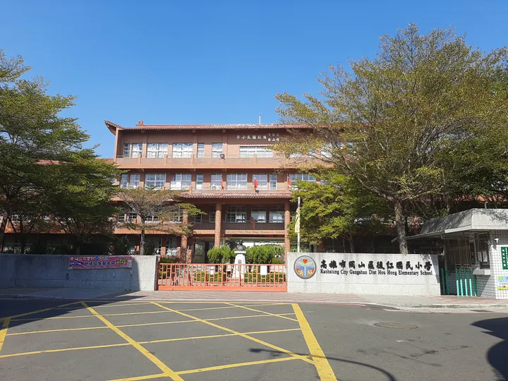
Photo adjustments
Full frame retained; proportionally resized and converted to WebP. No retouching or changes to the photographed subject. Card displays may crop the view.
- Administrative area
- District · 區
- Part of
- Kaohsiung City
- Chinese name
- 岡山區
- Local areas
- District guide
What to see
A torii gate at Gangshan Park has been restored on its original site. Within the park are the Gangshan branch of the municipal library, designed in a Chinese architectural style, and a senior citizens’ activity centre. The park also serves ecological and flood-retention functions.
Setting and landscape
Hedi Park (河堤公園), a 6.4-hectare park beside Gangshan Road (岡山路), is next to the cultural centre, Agongdian Creek (阿公店溪) and Lizhi New Village (勵志新村). It was created alongside redevelopment of an old military dependants’ village. Its circular walking path links a bamboo maze, an entrance plaza, a stargazing hill and a palm-lined path, together with a stage on the water and a viewing platform.
Sources for this guide
高雄市岡山區公所-岡山公園 · Kaohsiung Gangshan District Office
高雄市岡山區公所-河堤公園 · Kaohsiung Gangshan District Office
Original English written from the listed sources and checked sentence by sentence against quoted extracts by a separate reviewer. Updated 2026-09-30.
Explore Gangshan District
Core places to explore, with English and Chinese names.
Gangshan District 岡山區
Plan your visit
Getting there
Gangshan District is about 20 km in a straight line from central Kaohsiung City. Search for 岡山區 in a map app to find stations and your accommodation.
Where to stay →More in Kaohsiung City
Sources & geographic information
Administrative names and parent areas: Official geographic directory · Reference date 2026-09-06.
Map data © OpenStreetMap contributors. Pins mark approximate centres, not entrances or boundaries.