


Get to know Hunei District
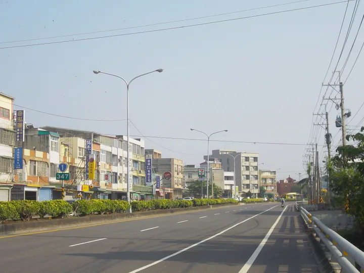
Photo adjustments
Full frame retained; proportionally resized and converted to WebP. No retouching or changes to the photographed subject. Card displays may crop the view.
- Administrative area
- District · 區
- Part of
- Kaohsiung City
- Chinese name
- 湖內區
- Local areas
- District guide
Area & population
- Area in the source
- 20.16 km²
Source: cited geographic source, as of the dates shown.
What to see
The Tomb of the Ming Prince of Ningjing (明寧靖王墓), on Dongfang Road (東方路), commemorates Zhu Shugui (朱術桂), a descendant of the Ming imperial family. He died by suicide in 1683 after the Zheng forces lost to the Qing. Later generations rebuilt the burial grounds, which now form a park; the tomb became a designated historic site in 1988.
Setting and local culture
The district’s sights also include Dahu Tomato Company (大湖番茄會社), Mingzong Calligraphy Art Museum (明宗書法藝術館), the former Haipu Church (海埔教會), and walking paths around Dahu and along the Erren River embankment. Agriculture and fish farming shape local production, including rice, vegetables, scallions, milkfish and white shrimp.
Sources for this guide
明寧靖王公墓—高雄旅遊網 · Kaohsiung City Government Tourism Bureau
湖內區—Wikipedia · Wikipedia contributors · CC BY-SA 4.0
Original English written from the listed sources and checked sentence by sentence against quoted extracts by a separate reviewer. Updated 2026-09-30.
Explore Hunei District
Core places to explore, with English and Chinese names.
Hunei District 湖內區
Plan your visit
Getting there
Hunei District is about 30 km in a straight line from central Kaohsiung City. Search for 湖內區 in a map app to find stations and your accommodation.
Where to stay →More in Kaohsiung City
Sources & geographic information
Administrative names and parent areas: Official geographic directory · Reference date 2026-09-06.
Some facts checked against 湖內區—Wikipedia — Wikipedia contributors, CC BY-SA 4.0.
Map data © OpenStreetMap contributors. Pins mark approximate centres, not entrances or boundaries.