


Get to know Jiasian District
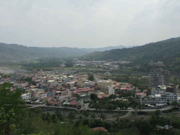
Photo adjustments
Full frame retained; proportionally resized and converted to WebP. No retouching or changes to the photographed subject. Card displays may crop the view.
- Administrative area
- District · 區
- Part of
- Kaohsiung City
- Chinese name
- 甲仙區
- Local areas
- District guide
Taro and bamboo shoots
This role helped Wenhua Road (文化路) develop into a shopping area with shops selling local products and snack businesses. The district’s growing conditions suit taro and bamboo shoots, which are made into a variety of agricultural products.
Painted lanes and the bridge
Jiasian Bridge (甲仙大橋) was rebuilt in 2010 after the typhoon disaster known as Baba Fengzai (八八風災). Within the communities, Cat Lane (貓巷) features cat paintings; He’an Painted Lane (和安彩繪巷) incorporates local life and culture; and Dingkan Zhuangtou (頂崁庄頭) uses cartoon-like immortal figures. Another named religious site is the Tiantan Yuansong Taizu Temple (天壇元宋太祖宮).
Sources for this guide
高雄市地方創生概況 – 國立中山大學社會實踐網 · National Sun Yat-sen University
Original English written from the listed sources and checked sentence by sentence against quoted extracts by a separate reviewer. Updated 2026-09-27.
Explore Jiasian District
Core places to explore, with English and Chinese names.
Jiasian District 甲仙區
Plan your visit
Getting there
Jiasian District is about 60 km in a straight line from central Kaohsiung City. Search for 甲仙區 in a map app to find stations and your accommodation.
Where to stay →More in Kaohsiung City
Sources & geographic information
Administrative names and parent areas: Official geographic directory · Reference date 2026-09-06.
Map data © OpenStreetMap contributors. Pins mark approximate centres, not entrances or boundaries.