


Get to know Liouguei District
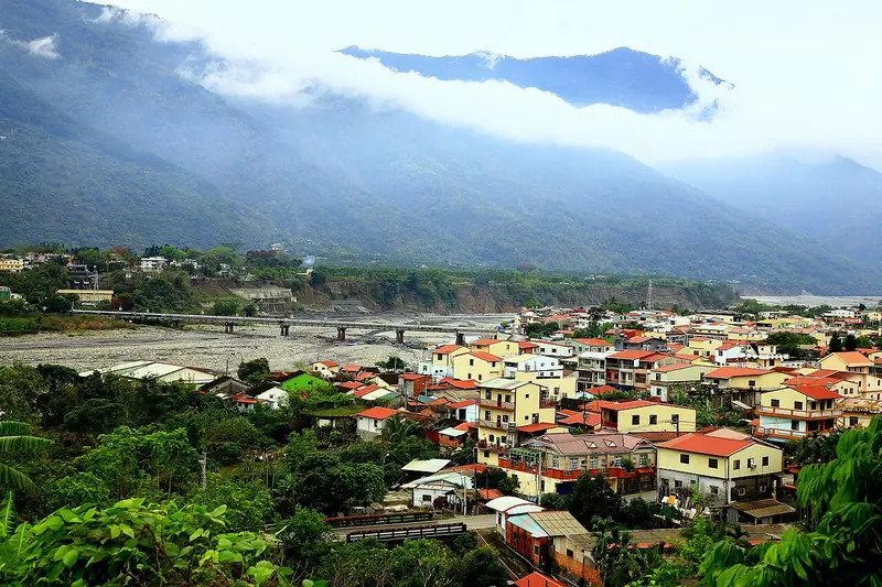
Photo adjustments
Full frame retained; EXIF orientation normalized, proportionally resized to at most 800 pixels and converted to WebP. No generated pixels or subject changes. Cards may crop the display.
- Administrative area
- District · 區
- Part of
- Kaohsiung City
- Chinese name
- 六龜區
- Local areas
- District guide
Mountain gardens and hot springs
The Xinwei Visitor Center (新威遊客中心) has a mahogany-lined walking path, while Shenwei Tiantai Mountain (神威天台山) is known for pink flowering trees. Baolai Flower Park and Hot Springs (寶來花賞溫泉公園) combines flower viewing and thermal bathing.
Tea and plum dishes
Local tea production includes Jinxuan (金萱), oolong and native Taiwanese mountain tea, the latter harvested by hand. In Baolai (寶來), cooks use local plums in chicken dishes, chicken soup and pork ribs, giving the food a sweet-sour flavour. Jinhuang mangoes (金煌芒果) are large, sweet and low in acidity, while Black Diamond wax apples (黑鑽石蓮霧) have crisp, juicy flesh.
Sources for this guide
六龜區-茂林國家風景區管理處 · Maolin National Scenic Area Administration
Original English written from the listed sources and checked sentence by sentence against quoted extracts by a separate reviewer. Updated 2026-09-27.
Explore Liouguei District
Core places to explore, with English and Chinese names.
Liouguei District 六龜區
Plan your visit
Getting there
Liouguei District is about 55 km in a straight line from central Kaohsiung City. Search for 六龜區 in a map app to find stations and your accommodation.
Where to stay →More in Kaohsiung City
Sources & geographic information
Administrative names and parent areas: Official geographic directory · Reference date 2026-09-06.
Map data © OpenStreetMap contributors. Pins mark approximate centres, not entrances or boundaries.