


Get to know Lujhu District
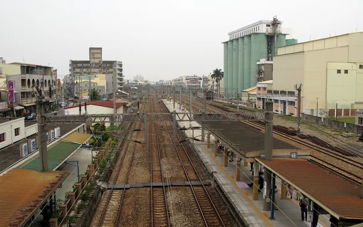
Photo adjustments
Full frame retained; proportionally resized and converted to WebP. No retouching or changes to the photographed subject. Card displays may crop the view.
- Administrative area
- District · 區
- Part of
- Kaohsiung City
- Chinese name
- 路竹區
- Local areas
- District guide
Temples and old houses
Lujhu Tianhou Temple (路竹天后宮) stands on the old Banluzhu Street site and dates to the tenth year of the Kangxi reign. Huashan Hall (華山殿) in Zhuhu (竹滬) is noted for its detailed architectural carving. The Lin Ancestral Residence (林家祖厝), on Taiping Road (太平路) in Xiakeng (下坑), is a single-storey, three-sided courtyard house. Its corridor beams and columns carry floral carvings, with black roof tiles and decorative walls.
Farming and community landscape
Dingxin Community (頂新社區) developed community horticulture and plant nurseries as part of neighbourhood greening. Farming was historically important across the district; its local government describes a shift toward ecological rural tourism and hands-on cultivation experiences.
Sources for this guide
路竹簡介—路竹區公所 · Kaohsiung Lujhu District Office
古厝巡禮—路竹區公所 · Kaohsiung Lujhu District Office
Original English written from the listed sources and checked sentence by sentence against quoted extracts by a separate reviewer. Updated 2026-09-30.
Explore Lujhu District
Core places to explore, with English and Chinese names.
Lujhu District 路竹區
Plan your visit
Getting there
Lujhu District is about 25 km in a straight line from central Kaohsiung City. Search for 路竹區 in a map app to find stations and your accommodation.
Where to stay →More in Kaohsiung City
Sources & geographic information
Administrative names and parent areas: Official geographic directory · Reference date 2026-09-06.
Map data © OpenStreetMap contributors. Pins mark approximate centres, not entrances or boundaries.