


Get to know Meinong District
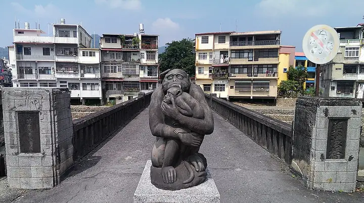
Photo adjustments
Full-frame source proportionally resized and converted to WebP for display. No subject alteration. Source-supplied marks and edits remain; cards may crop the view.
- Administrative area
- District · 區
- Part of
- Kaohsiung City
- Chinese name
- 美濃區
- Local areas
- District guide
What to see
The restored complex combines Japanese and Western architectural features. The former Japanese-style dormitory has been adapted as a children’s space, while the newer educational arts building includes a collection devoted to Liudui Hakka (六堆客家) subjects. Kaizhuang Square (開庒廣場) links the three buildings. The older complex retains an air-raid shelter and a large old tree; the restored buildings include bamboo-woven earthen walls and sliding doors.
Seasonal produce and food
Local seasonal produce includes white-jade radishes in autumn and orange honey cherry tomatoes in winter. A 2015 municipal food initiative featured flat rice noodles (粄條), yelian greens (野蓮), braised pork trotters, donggua feng (冬瓜封), and soup made with dried cabbage and pork ribs.
Sources for this guide
美濃文創中心-高雄旅遊網 · Kaohsiung City Government Tourism Bureau
聽美濃說老經典 繼續流連忘返 - TAKAO 樂高雄 · Kaohsiung City Government Information Bureau
Original English written from the listed sources and checked sentence by sentence against quoted extracts by a separate reviewer. Updated 2026-09-30.
Explore Meinong District
Core places to explore, with English and Chinese names.
Places to explore around Meinong District
Plan your visit
Getting there
Meinong District is about 40 km in a straight line from central Kaohsiung City. Search for 美濃區 in a map app to find stations and your accommodation.
Where to stay →Build your route
Start with Meinong Hakka Town. The linked place guides have entrance and visit details.
Continue with Kaohsiung City →More in Kaohsiung City
Sources & geographic information
Administrative names and parent areas: Official geographic directory · Reference date 2026-09-06.
Photo: Meinong Hakka Town · Fcuk1203 · CC BY-SA 3.0. Full-frame source proportionally resized and converted to WebP for display. No subject alteration. Source-supplied marks and edits remain; cards may crop the view.

Map data © OpenStreetMap contributors. Pins mark approximate centres, not entrances or boundaries.