


Get to know Mituo District
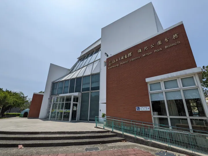
Photo adjustments
Full frame retained; proportionally resized and converted to WebP. No retouching or changes to the photographed subject. Card displays may crop the view.
- Administrative area
- District · 區
- Part of
- Kaohsiung City
- Chinese name
- 彌陀區
- Local areas
- District guide
Defensive structures
The circular Yancheng Anti-Aircraft Machine-Gun Tower (鹽埕高射機槍砲塔), south of Weiren Bridge (維仁橋), is about two storeys high and has firing openings on every side. Mijing Air-Raid Shelter (彌靖防空壕) in Mituo Park (彌陀公園) dates from Japanese rule. Guanghe Bunker (光和碉堡) stands beside Guanghe Road (光和路).
The coastal promenade
Nanliao Coastal Corridor (南寮海岸光廊) occupies about 1.5 hectares. Its facilities include a boat-shaped viewing platform, waterside channel, wooden boardwalk, pavilions and a white-sand play area. The waterfront provides places to look out to sea and watch sunset, while the play spaces are intended for children.
Sources for this guide
mituo.kcg.gov.tw · Kaohsiung Mituo District Office
彌陀區公所-南寮海岸光廊 · Kaohsiung Mituo District Office
Original English written from the listed sources and checked sentence by sentence against quoted extracts by a separate reviewer. Updated 2026-09-30.
Explore Mituo District
Core places to explore, with English and Chinese names.
Mituo District 彌陀區
Plan your visit
Getting there
Mituo District is about 20 km in a straight line from central Kaohsiung City. Search for 彌陀區 in a map app to find stations and your accommodation.
Where to stay →More in Kaohsiung City
Sources & geographic information
Administrative names and parent areas: Official geographic directory · Reference date 2026-09-06.
Map data © OpenStreetMap contributors. Pins mark approximate centres, not entrances or boundaries.