


Get to know Qieding District
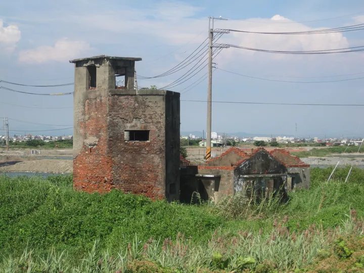
Photo adjustments
Full frame retained; proportionally resized and converted to WebP. No retouching or changes to the photographed subject. Card displays may crop the view.
- Administrative area
- District · 區
- Part of
- Kaohsiung City
- Chinese name
- 茄萣區
- Local areas
- District guide
Setting and landscape
Qieding Wetland (茄萣濕地), formerly called Zhuhu Salt-field Wetland (竹滬鹽田濕地), occupies disused salt pans. Salt production ceased in 1991 as the ocean-going harbour was developed. In 2011, a government proposal changed the area’s designation to a wetland nature park. Mangroves fringe its channels, and recorded birds include black-faced spoonbills, Oriental storks, peregrine falcons and ospreys.
What to see
Xingda’s nearshore basin has ice-making and cold-storage facilities, fishing-gear repair berths and boatyards. The tourist fish market and Qilou community (崎漏社區) are beside this basin. A longstanding mullet trade gives the harbour its association with that fish; the market offers local seafood to buy and eat.
Sources for this guide
茄萣濕地(暫定地方級)|臺灣國家公園主題網 · Taiwan National Park Service
高雄市海洋局-興達漁港 · Kaohsiung Marine Bureau
Original English written from the listed sources and checked sentence by sentence against quoted extracts by a separate reviewer. Updated 2026-09-30.
Explore Qieding District
Core places to explore, with English and Chinese names.
Qieding District 茄萣區
Plan your visit
Getting there
Qieding District is about 35 km in a straight line from central Kaohsiung City. Search for 茄萣區 in a map app to find stations and your accommodation.
Where to stay →More in Kaohsiung City
Sources & geographic information
Administrative names and parent areas: Official geographic directory · Reference date 2026-09-06.
Map data © OpenStreetMap contributors. Pins mark approximate centres, not entrances or boundaries.