


Get to know Renwu District
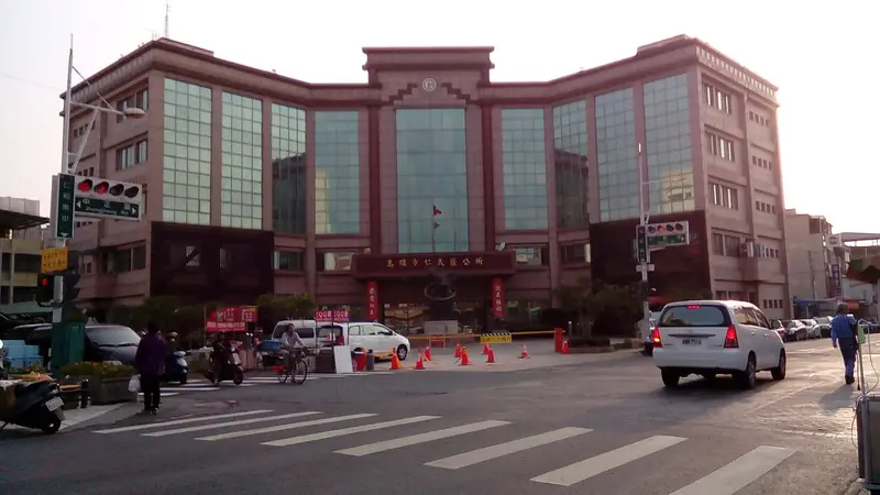
Photo adjustments
Full frame retained; EXIF orientation normalized, proportionally resized to at most 800 pixels and converted to WebP. No generated pixels or subject changes. Cards may crop the display.
- Administrative area
- District · 區
- Part of
- Kaohsiung City
- Chinese name
- 仁武區
- Local areas
- District guide
Area & population
- Area in the source
- 36.08 km²
Source: cited geographic source, as of the dates shown.
Lake and temple
Guanshui Temple (觀水宮), dedicated to Guanyin (觀音), stands beside the lake. Old banyan trees shade its lakeside forecourt, while bamboo and mixed woodland surround the water. Egrets can be seen flying over the lake or gathering in the trees.
Family buildings and a power tower
The Liu Family Old House (劉姓古厝) originally comprised four courtyard groups. Road widening and rebuilding altered the complex, but its ancestral hall and newer residence retain traditional features, including swallowtail roof ridges, bracket sets and timber doors. Renwu Light Tower (仁武光之塔), around 40 metres high, preserves a former electricity pylon after its cables were moved underground.
Sources for this guide
鳥松、仁武 遊湖賞生態 - TAKAO 樂高雄 · Kaohsiung City Government Information Bureau
Original English written from the listed sources and checked sentence by sentence against quoted extracts by a separate reviewer. Updated 2026-09-27.
Explore Renwu District
Core places to explore, with English and Chinese names.
Renwu District 仁武區
Plan your visit
Getting there
Renwu District is about 10 km in a straight line from central Kaohsiung City. Search for 仁武區 in a map app to find stations and your accommodation.
Where to stay →More in Kaohsiung City
Sources & geographic information
Administrative names and parent areas: Official geographic directory · Reference date 2026-09-06.
Map data © OpenStreetMap contributors. Pins mark approximate centres, not entrances or boundaries.