


Get to know Shanlin District
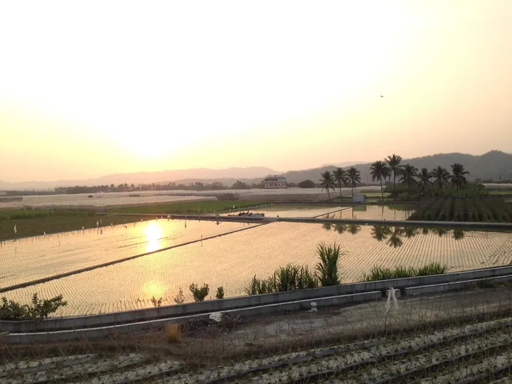
Photo adjustments
Full frame retained; proportionally resized and converted to WebP. No retouching or changes to the photographed subject. Card displays may crop the view.
- Administrative area
- District · 區
- Part of
- Kaohsiung City
- Chinese name
- 杉林區
- Local areas
- District guide
Family settlement
The compound remains a family home and ancestral centre. Its tiled roof once distinguished it from surrounding thatched houses, giving the house its local name Wawuxia (瓦屋下), meaning beneath the tiled house. A ceremonial gateway built in 1934 carries fan and scroll decorations, with inscriptions encouraging filial respect, brotherly friendship and learning.
Courtyards and water
The compound has two successive courtyard sections rather than a single main courtyard. Its grassy forecourt faces a half-moon pond used for water storage and fire protection. Two old wells lie behind the ancestral hall. A spring-fed washing place and the pond preserve features of the settlement’s earlier domestic landscape.
Sources for this guide
百年黃家伙房 看見客家文化新風景 - 高雄畫刊-高雄市政府新聞局 · Kaohsiung City Government Information Bureau
Original English written from the listed sources and checked sentence by sentence against quoted extracts by a separate reviewer. Updated 2026-09-27.
Explore Shanlin District
Core places to explore, with English and Chinese names.
Shanlin District 杉林區
Plan your visit
Getting there
Shanlin District is about 50 km in a straight line from central Kaohsiung City. Search for 杉林區 in a map app to find stations and your accommodation.
Where to stay →More in Kaohsiung City
Sources & geographic information
Administrative names and parent areas: Official geographic directory · Reference date 2026-09-06.
Map data © OpenStreetMap contributors. Pins mark approximate centres, not entrances or boundaries.