


Get to know Yanchao District
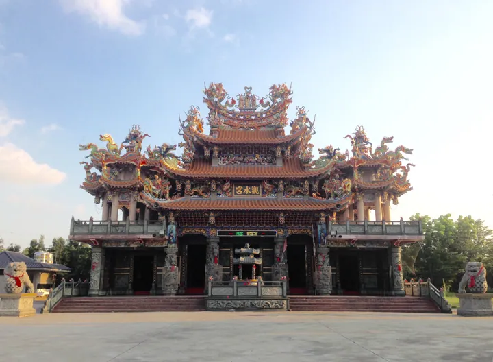
Photo adjustments
Full frame retained; proportionally resized and converted to WebP. No retouching or changes to the photographed subject. Card displays may crop the view.
- Administrative area
- District · 區
- Part of
- Kaohsiung City
- Chinese name
- 燕巢區
- Local areas
- District guide
Mud volcanoes and wildlife
The Wushanding Mud Volcano Nature Reserve (烏山頂泥火山自然保留區) was designated in 1992. Cracks associated with the Cishan Fault (旗山斷層) allow water-bearing mud and pressurised gas, mainly methane, to reach the surface. Nectar plants attract butterflies, while barbets nest in dead wood; the woodland also supports pangolins and crab-eating mongooses.
Noodles and beef exhibits
Yanchao Fengwei Waisheng Noodles (燕巢風味外省麵) makes medium-width flat noodles served with pure sesame paste, pork fat and traditionally brewed soy sauce. At the Yuho Beef Tourism Factory (裕賀牛觀光工廠), exhibits explain cattle breeds, meat cuts, grading and wet and dry ageing.
Sources for this guide
走訪泥火山 品嚐燕巢隱藏美味 - 高雄畫刊-高雄市政府新聞局 · Kaohsiung City Government Information Bureau
Original English written from the listed sources and checked sentence by sentence against quoted extracts by a separate reviewer. Updated 2026-09-27.
Explore Yanchao District
Core places to explore, with English and Chinese names.
Yanchao District 燕巢區
Plan your visit
Getting there
Yanchao District is about 20 km in a straight line from central Kaohsiung City. Search for 燕巢區 in a map app to find stations and your accommodation.
Where to stay →More in Kaohsiung City
Sources & geographic information
Administrative names and parent areas: Official geographic directory · Reference date 2026-09-06.
Map data © OpenStreetMap contributors. Pins mark approximate centres, not entrances or boundaries.