


Get to know Lieyu Township
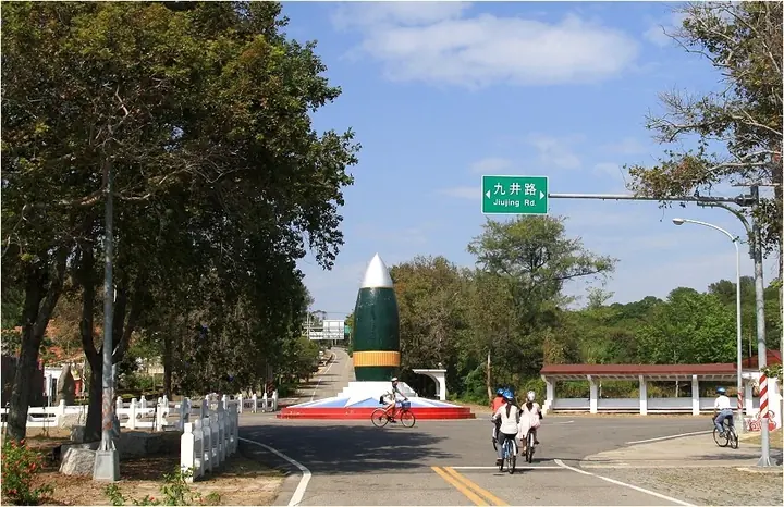
Photo adjustments
Full frame retained; proportionally resized and converted to WebP. No retouching or changes to the photographed subject. Card displays may crop the view.
- Administrative area
- Rural township · 鄉
- Part of
- Kinmen County
- Chinese name
- 烈嶼鄉
- Local areas
- Rural township guide
Area & population
- Area in the source
- 17.16 km²
Source: cited geographic source, as of the dates shown.
Setting and landscape
At Nanshantou (南山頭), basalt columns rise beside the coast. Green algae, including sea lettuce, spread through channels in the rock during March and April, creating the green stone troughs (綠石槽) associated with this shore. Between Putou (埔頭) and Huangcuo (黃厝), other intertidal rocks have a honeycomb-like appearance locally called maogong stone (貓公石).
What to see
The Nanshantou Fourth Camp (南山頭四營區) was restored and opened as a heritage site in 2018. Its former defenses include underground firing bunkers and a command post. This gives the coastal stop both a geological and a military-history setting.
Getting oriented
Kinmen Bridge (金門大橋), opened in 2022, joins Lieyu with Jinning (金寧) on the main island. Jiugong Tunnel (九宮坑道) and the Hujingtou Battle Museum (湖井頭戰史館) are other named historical sites in the township.
Sources for this guide
Lieyu - Wikipedia · Wikipedia contributors · CC BY-SA 4.0
金門日報全球資訊網 -《金門瞭望》烈嶼玄武岩海岸 金廈海域一道美麗風景 · Kinmen Daily News, special writer Li Jinsheng, March 2024
Original English written from the listed sources and checked sentence by sentence against quoted extracts by a separate reviewer. Updated 2026-09-30.
Explore Lieyu Township
Core places to explore, with English and Chinese names.
Lieyu Township 烈嶼鄉
Plan your visit
Getting there
Lieyu Township is about 10 km in a straight line from central Kinmen County. Search for 烈嶼鄉 in a map app to find stations and your accommodation.
Where to stay →More in Kinmen County
Sources & geographic information
Administrative names and parent areas: Official geographic directory · Reference date 2026-09-06.
Some facts checked against Lieyu — Wikipedia contributors, CC BY-SA 4.0.
Map data © OpenStreetMap contributors. Pins mark approximate centres, not entrances or boundaries.