


Get to know Guanyin District
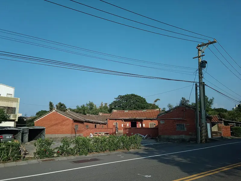
Photo adjustments
Full frame retained; EXIF orientation normalized, proportionally resized to at most 800 pixels and converted to WebP. No generated pixels or subject changes. Cards may crop the display.
- Administrative area
- District · 區
- Part of
- Taoyuan City
- Chinese name
- 觀音區
- Local areas
- District guide
Area & population
- Area in the source
- 87.98 km²
Source: cited geographic source, as of the dates shown.
Sand shaped by wind
River sediment reaches the coast, where currents and tides redistribute it. Strong winds blow dried beach sand inland; plants and other obstacles slow the wind and encourage dunes to accumulate. At Caoluo, exposed sand continues to move while vegetation stabilises other dunes. Wind erosion reveals crossed layers, dark magnetite-containing bands and ripples running across the wind direction.
The Guanyin approach
Baishatun Trail (白沙屯步道) on Zhongxiao Road (忠孝路) provides a Guanyin approach to the dunes. The coastal vegetation includes beach morning glory (馬鞍藤), screw pine (林投), beach cabbage (草海桐) and sea hibiscus (黃槿), plants adapted to dry, salty and windy conditions.
Sources for this guide
臺灣網路科教館 · National Taiwan Science Education Center
Original English written from the listed sources and checked sentence by sentence against quoted extracts by a separate reviewer. Updated 2026-09-27.
Explore Guanyin District
Core places to explore, with English and Chinese names.
Guanyin District 觀音區
Plan your visit
Getting there
Guanyin District is about 20 km in a straight line from central Taoyuan City. Search for 觀音區 in a map app to find stations and your accommodation.
Where to stay →More in Taoyuan City
Sources & geographic information
Administrative names and parent areas: Official geographic directory · Reference date 2026-09-06.
Map data © OpenStreetMap contributors. Pins mark approximate centres, not entrances or boundaries.