


Get to know Taoyuan District
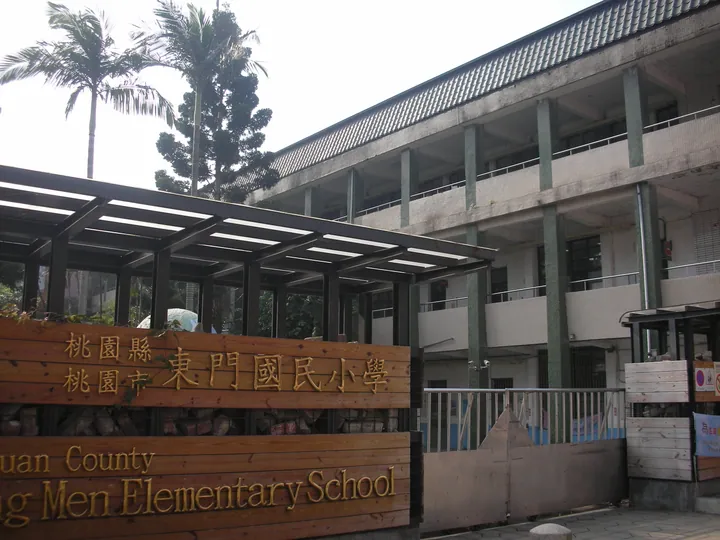
Photo adjustments
Full frame retained; proportionally resized and converted to WebP. No retouching or changes to the photographed subject. Card displays may crop the view.
- Administrative area
- District · 區
- Part of
- Taoyuan City
- Chinese name
- 桃園區
- Local areas
- District guide
Area & population
- Area in the source
- 34.80 km²
Source: cited geographic source, as of the dates shown.
Temples and reused buildings
Jingfu Temple (景福宮), dedicated to Kaizhang Shengwang (開漳聖王), developed from an early settlement shrine into a focus of the town. Taoyuan Shrine (桃園神社), completed in 1938, forms part of today’s Martyrs’ Shrine and Shrine Cultural Park (忠烈祠暨神社文化園區). Former Japanese-era official housing, later used by police families, has been reused as Taoyuan 77 Art Zone (桃園77藝文町), with food and arts shops.
River and railway history
The Nankan River (南崁溪) crosses the district from southeast towards northwest. The Railway Vision Museum (桃園軌道願景館) occupies a warehouse originally built for fertiliser storage in 1936. Around the railway station, streets including Zhongzheng (中正路), Datong (大同路) and Minzu (民族路) connect shops, restaurants and entertainment venues.
Sources for this guide
桃園區 - 维基百科,自由的百科全书 · Wikipedia contributors · CC BY-SA 4.0
Taoyuan District · Wikipedia contributors · CC BY-SA 4.0
Original English written from the listed sources and checked sentence by sentence against quoted extracts by a separate reviewer. Updated 2026-09-30.
Explore Taoyuan District
Core places to explore, with English and Chinese names.
Taoyuan District 桃園區
Plan your visit
Getting there
Taoyuan District covers the centre of Taoyuan City. Search for 桃園區 in a map app to find stations and your accommodation.
Where to stay →More in Taoyuan City
Sources & geographic information
Administrative names and parent areas: Official geographic directory · Reference date 2026-09-06.
Some facts checked against 桃園區 — Wikipedia contributors, CC BY-SA 4.0.
Some facts checked against Taoyuan District — Wikipedia contributors, CC BY-SA 4.0.
Map data © OpenStreetMap contributors. Pins mark approximate centres, not entrances or boundaries.