


Get to know Pingzhen District
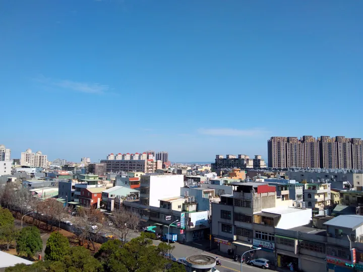
Photo adjustments
Full frame retained; proportionally resized and converted to WebP. No retouching or changes to the photographed subject. Card displays may crop the view.
- Administrative area
- District · 區
- Part of
- Taoyuan City
- Chinese name
- 平鎮區
- Local areas
- District guide
Area & population
- Area in the source
- 47.75 km²
Source: cited geographic source, as of the dates shown.
Waterways and a brick bridge
An official local itinerary follows Bazizun (八字圳) and the Guoling branch of the Shimen irrigation canal. It passes small Bogong shrines dedicated to the earth god, linking farmland with village worship. At Bogongtan (伯公潭), three earth-god temples stand near a curved stream reach; the red-brick arched bridge crosses Nanshi Creek.
Yimin worship and resistance history
Baozhong Shrine (褒忠祠), also called Yimin Temple (義民廟), began as Yimin Pavilion in 1791 and was expanded in 1857. The 1895 Yiwei Memorial Park (1895乙未保台紀念公園) and Yiwei Ring exhibition space (乙未之環) interpret local resistance during Japan’s takeover of Taiwan.
Sources for this guide
平鎮區 - 维基百科,自由的百科全书 · Wikipedia contributors · CC BY-SA 4.0
安平鎮庄的水圳與義民 · Taoyuan Tourism and Travel Department
Original English written from the listed sources and checked sentence by sentence against quoted extracts by a separate reviewer. Updated 2026-09-30.
Explore Pingzhen District
Core places to explore, with English and Chinese names.
Pingzhen District 平鎮區
Plan your visit
Getting there
Pingzhen District is about 10 km in a straight line from central Taoyuan City. Search for 平鎮區 in a map app to find stations and your accommodation.
Where to stay →More in Taoyuan City
Sources & geographic information
Administrative names and parent areas: Official geographic directory · Reference date 2026-09-06.
Some facts checked against 平鎮區 — Wikipedia contributors, CC BY-SA 4.0.
Map data © OpenStreetMap contributors. Pins mark approximate centres, not entrances or boundaries.