


Get to know Xinwu District
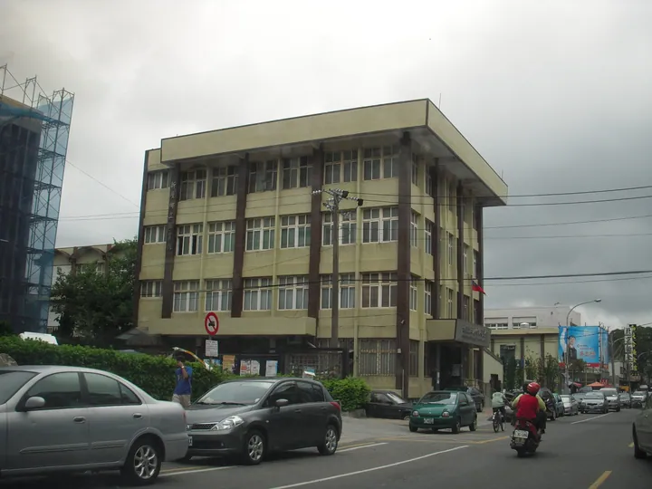
Photo adjustments
Full frame retained; proportionally resized and converted to WebP. No retouching or changes to the photographed subject. Card displays may crop the view.
- Administrative area
- District · 區
- Part of
- Taoyuan City
- Chinese name
- 新屋區
- Local areas
- District guide
Area & population
- Area in the source
- 85.02 km²
Source: cited geographic source, as of the dates shown.
A shore built from cobbles
The weirs use stones gathered from the coast. Their adjoining walls form a network of paths across the intertidal area. High tides cover the structures; as the water recedes, fish become trapped and fishers use nets to catch them. Oysters, limpets, shrimp and crabs inhabit the area around the weirs.
Paths to the fishing coast
The approach passes along the Keke Xidao shell path (蚵殼細道), surfaced with fragments of oyster shell, and the Xinwu Green Corridor (新屋綠色走廊), bordered on both sides by coastal woodland. The Tiaoyu Historic Trail (挑漁古道) leads through to the shore. Local weir owners demonstrate fishing with hand nets and seine nets, linking the structures to the skills used around them.
Sources for this guide
桃園新屋|蚵間石滬捕魚趣|石滬體驗 - 來到漁玩-臺灣最好玩休閒漁業資訊平台 · National Taiwan Ocean University, Fish Taiwan platform
Original English written from the listed sources and checked sentence by sentence against quoted extracts by a separate reviewer. Updated 2026-09-27.
Explore Xinwu District
Core places to explore, with English and Chinese names.
Xinwu District 新屋區
Plan your visit
Getting there
Xinwu District is about 20 km in a straight line from central Taoyuan City. Search for 新屋區 in a map app to find stations and your accommodation.
Where to stay →More in Taoyuan City
Sources & geographic information
Administrative names and parent areas: Official geographic directory · Reference date 2026-09-06.
Map data © OpenStreetMap contributors. Pins mark approximate centres, not entrances or boundaries.