


Get to know Jinping Miao, Yao, and Dai Autonomous County
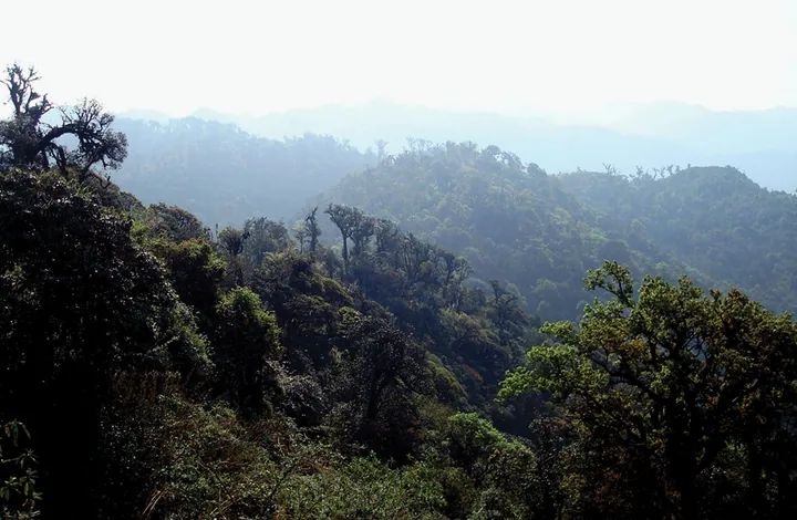
Photo adjustments
Full frame retained; proportionally resized and converted to WebP. No retouching or changes to the photographed subject. Card displays may crop the view.
- Administrative area
- Autonomous county · 自治县
- Part of
- Honghe Hani and Yi Autonomous Prefecture
- Chinese name
- 金平苗族瑶族傣族自治县
- Local areas
- Autonomous county guide
Area & population
- Area in the source
- 3,677.00 km²
- Population · 2020 census
- 331,377
- Administrative seat
- Jinhe
Source: cited geographic source, as of the dates shown.
Honghe Butterfly Valley
Honghe Butterfly Valley (红河蝴蝶谷), in Ma’andi Township (马鞍底乡), includes the Yingpanshan forest observation area (营盘山林区观测点). Jianhuan butterflies (箭环蝶) have brownish-yellow wings marked with rings; they gather beside streams and paths and rest on trunks, leaves and stone steps. Museum director Yang Zhenwen (杨镇文) describes their population peaks as following a cycle of roughly six or seven years.
Plants that sustain the butterflies
Forest rangers protect the bamboo plants on which the butterflies depend and monitor the development of their pupae. Local conservation work also includes planting host and nectar plants. Residents participate in butterfly breeding and make butterfly-themed crafts; the valley has a biodiversity education base.
Sources for this guide
生态好不好?蝴蝶最知道——云南金平“蝴蝶大爆发”背后的生态密码-新华网 · Xinhua
Original English written from the listed sources and checked sentence by sentence against quoted extracts by a separate reviewer. Updated 2026-09-27.
Explore Jinping Miao, Yao, and Dai Autonomous County
Core places to explore, with English and Chinese names.
Jinping Miao, Yao, and Dai Autonomous County 金平苗族瑶族傣族自治县
Plan your visit
Getting there
Jinping Miao, Yao, and Dai Autonomous County is about 65 km in a straight line from central Honghe Hani and Yi Autonomous Prefecture. Search for 金平苗族瑶族傣族自治县 in a map app to find stations and your accommodation.
Where to stay →More in Honghe Hani and Yi Autonomous Prefecture
Sources & geographic information
Administrative names and parent areas: Official geographic directory · Reference date 2026-09-06.
Map data © OpenStreetMap contributors. Pins mark approximate centres, not entrances or boundaries.