


Get to know Kaiyuan
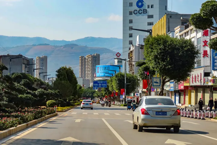
Photo adjustments
Full frame retained; proportionally resized and converted to WebP. No retouching or changes to the photographed subject. Card displays may crop the view.
- Administrative area
- County-level city · 县级市
- Part of
- Honghe Hani and Yi Autonomous Prefecture
- Chinese name
- 开远市
- Local areas
- County-level city guide
Area & population
- Area in the source
- 1,946.51 km²
Source: cited geographic source, as of the dates shown.
Caves and water at Nandong
Nandong (南洞) is enclosed by hills on three sides and faces a basin on the fourth. Its karst caves contain flowing underground water and stalactites illuminated by coloured lights. Outside, tall trees shade the landscape and mist rises from pools.
Railway memories in the park
Fenghuang Tower (凤凰楼) stands on the hilltop within the ecological park. Its Kaiyuan Memory exhibition space (开远记忆客厅) traces the city’s historical and cultural changes. Below the hill, beside the railway, 1909 Square (1909广场) presents the culture of the metre-gauge Yunnan–Vietnam Railway (滇越铁路). The park also contains Yunshang Xiangchou Academy (云上乡愁书院), surrounded by trees with flowers in front.
Sources for this guide
旅居彩云南 红河最好在丨美丽开远,康养宜居-红河哈尼族彝族自治州人民政府 · Honghe Prefecture People’s Government
Original English written from the listed sources and checked sentence by sentence against quoted extracts by a separate reviewer. Updated 2026-09-27.
Explore Kaiyuan
Core places to explore, with English and Chinese names.
Plan your visit
Getting there
Kaiyuan is about 40 km in a straight line from central Honghe Hani and Yi Autonomous Prefecture. Search for 开远市 in a map app to find stations and your accommodation.
Where to stay →More in Honghe Hani and Yi Autonomous Prefecture
Sources & geographic information
Administrative names and parent areas: Official geographic directory · Reference date 2026-09-06.
Map data © OpenStreetMap contributors. Pins mark approximate centres, not entrances or boundaries.