


Get to know Yuanyang County
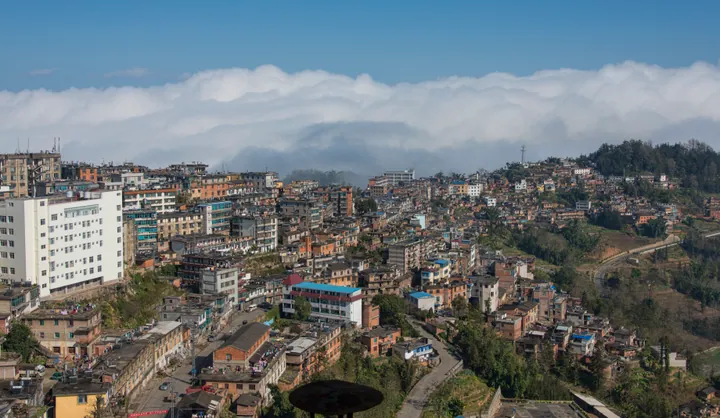
Photo adjustments
Full frame retained; proportionally resized and converted to WebP. No retouching or changes to the photographed subject. Card displays may crop the view.
- Administrative area
- County · 县
- Part of
- Honghe Hani and Yi Autonomous Prefecture
- Chinese name
- 元阳县
- Local areas
- County guide
Area & population
- Area in the source
- 2,292.00 km²
Source: cited geographic source, as of the dates shown.
Duoyishu and Bada
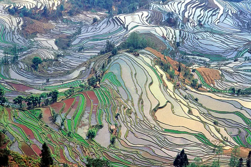
Duoyishu (多依树) brings together terraces around Duoyishu, Aicun (爱村) and Dawazhe (大瓦遮), with Hani and Yi villages scattered among them. Sunrise and seas of cloud are characteristic views here. Bada (坝达), associated with sunset views, has steep, closely stacked terraces. These rise from the Malizhai River (麻栗寨河) at about 800 metres to slopes above 2,000 metres. Some plots are only as small as a winnowing basket.
Fields in a deep valley
At Laohuzui (老虎嘴), the terraces around Mengpin (勐品), Dongpu (硐浦), Baoshanzhai (保山寨) and Amengkong (阿勐控) spread through a deep valley. Field shelters punctuate the terraced landscape. Qingkou village lies along the road between Xinjie Town (新街镇) and Lüchun County (绿春县).
Sources for this guide
元阳哈尼梯田景区-红河哈尼族彝族自治州人民政府 · Honghe Prefecture People’s Government
Original English written from the listed sources and checked sentence by sentence against quoted extracts by a separate reviewer. Updated 2026-09-27.
Explore Yuanyang County
Core places to explore, with English and Chinese names.
Places to explore around Yuanyang County
 Yuanyang Hani Rice Terraces (
Plan your visit
Getting there
Yuanyang County is about 55 km in a straight line from central Honghe Hani and Yi Autonomous Prefecture. Search for 元阳县 in a map app to find stations and your accommodation.
Where to stay →Build your route
Start with Yuanyang Hani Rice Terraces. The linked place guides have entrance and visit details.
Continue with Honghe Hani and Yi Autonomous Prefecture →More in Honghe Hani and Yi Autonomous Prefecture
Sources & geographic information
Administrative names and parent areas: Official geographic directory · Reference date 2026-09-06.
Photo: Yuanyang Hani Rice Terraces · Jialiang Gao , www.peace-on-earth.org · CC BY-SA 3.0. Full frame retained; EXIF orientation normalized, proportionally resized to at most 800 pixels and converted to WebP. No generated pixels or subject changes. Cards may crop the display.

Map data © OpenStreetMap contributors. Pins mark approximate centres, not entrances or boundaries.