


Get to know Linxiang District
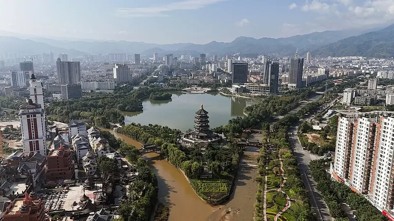
Photo adjustments
Full frame retained; proportionally resized and converted to WebP. No retouching or changes to the photographed subject. Card displays may crop the view.
- Administrative area
- District · 市辖区
- Part of
- Lincang
- Chinese name
- 临翔区
- Local areas
- District guide
Area & population
- Area in the source
- 2,652.00 km²
- Population · 2020 census
- 370,947
Source: cited geographic source, as of the dates shown.
Nanmei’s paths and houses
In Nanmei Village (南美村), pebble paths wind among vegetation and Lahu muzhanglou houses (木掌楼). The surrounding landscape includes grass-covered hills. Baishiyan (白石岩) lies to the east of the township, while a stone formation to the west is revered in Lahu belief as a mother of fertility.
Tea country at Xigui
Xigui Tea Culture Scenic Area (昔归茶文化景区) lies in Bangdong Township (邦东乡). Its attractions include tea gardens, a tea museum, a hillside boardwalk and a viewing platform overlooking the Lancang River (澜沧江). Ancient tea trees share the area with traces of an old town, post road, ferry landing and traditional paper-making workshops. The district also names rose dishes and reservoir fish from Boshang (博尚) among local foods.
Sources for this guide
南美拉祜生态旅游度假区简介 · Linxiang District People’s Government
昔归茶文化景区简介 · Linxiang District People’s Government
临翔旅游线路推介之博尚碗窑土陶体验之旅 · Linxiang District People’s Government
Original English written from the listed sources and checked sentence by sentence against quoted extracts by a separate reviewer. Updated 2026-09-27.
Explore Linxiang District
Core places to explore, with English and Chinese names.
Places to explore around Linxiang District
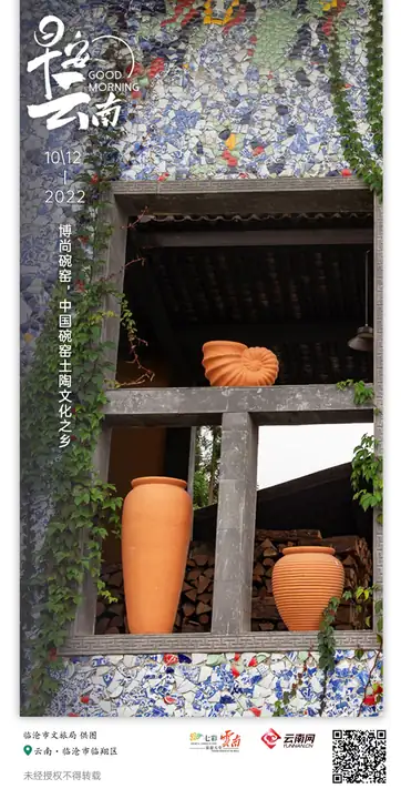 Boshang Wanyao Pottery Village ·
 Plan your visit
Getting there
Linxiang District covers the centre of Lincang. Search for 临翔区 in a map app to find stations and your accommodation.
Where to stay →Build your route
Start with Boshang Wanyao Pottery Village. The linked place guides have entrance and visit details.
Continue with Lincang →More in Lincang
Sources & geographic information
Administrative names and parent areas: Official geographic directory · Reference date 2026-09-06.
Photo: Boshang Wanyao Pottery Village · Source photographer · License not provided. EXIF orientation normalized; resized without changing aspect ratio; converted to WebP. No subject edits.
Map data © OpenStreetMap contributors. Pins mark approximate centres, not entrances or boundaries.