


Get to know Zhenkang County
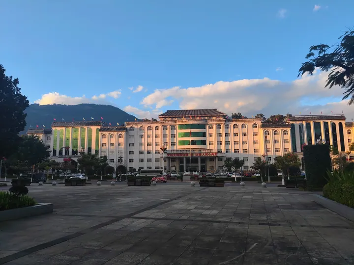
Photo adjustments
Full frame retained; proportionally resized and converted to WebP. No retouching or changes to the photographed subject. Card displays may crop the view.
- Administrative area
- County · 县
- Part of
- Lincang
- Chinese name
- 镇康县
- Local areas
- County guide
Area & population
- Area in the source
- 2,642.00 km²
- Population · 2020
- 172,879
Source: cited geographic source, as of the dates shown.
History and living traditions
Asuse entered the fifth national list of intangible cultural heritage in 2021, with Zhenkang as its submitting county. The tradition developed from dances accompanied by a gourd mouth organ; bamboo flute and small three-stringed lute were added later. Musicians play while dancing, with other participants following in a singing circle. A lead singer is answered by a closing chorus, and men and women also improvise question-and-answer verses.
What to see
Nansan Riverside Park Square (南伞河畔公园广场) is a setting for local group dancing. Yunnan’s Ethnic and Religious Affairs Commission documented Asuse-based square dances there in 2022, alongside cultural teams taking performances into the county’s villages. Local Asuse groups also maintain the tradition through wedding dances and public square activities.
Sources for this guide
云南镇康:十年回眸 文化溢彩_云南省民族宗教事务委员会 · Yunnan Ethnic and Religious Affairs Commission, republishing Yunnan Net
阿数瑟 - 中国非物质文化遗产网·中国非物质文化遗产数字博物馆 - 阿数瑟 · Chinese National Academy of Arts / China Intangible Cultural Heritage Protection Centre
Original English written from the listed sources and checked sentence by sentence against quoted extracts by a separate reviewer. Updated 2026-09-30.
Explore Zhenkang County
Core places to explore, with English and Chinese names.
Zhenkang County 镇康县
Plan your visit
Getting there
Zhenkang County is about 130 km in a straight line from central Lincang. Search for 镇康县 in a map app to find stations and your accommodation.
Where to stay →More in Lincang
Sources & geographic information
Administrative names and parent areas: Official geographic directory · Reference date 2026-09-06.
Map data © OpenStreetMap contributors. Pins mark approximate centres, not entrances or boundaries.