


Get to know Yongde County
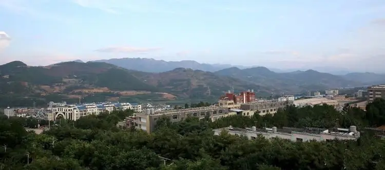
Photo adjustments
EXIF orientation normalized; resized without changing aspect ratio; converted to WebP. No subject edits.
- Administrative area
- County · 县
- Part of
- Lincang
- Chinese name
- 永德县
- Local areas
- County guide
Area & population
- Area in the source
- 3,296.00 km²
Source: cited geographic source, as of the dates shown.
A name formed in 1964
The present county name dates from January 1964, when the western border area was separated to form a new Zhenkang County (镇康县). Yongde combines the first characters of Yongkang (永康) and Dedang. The county was a passage on the Tea Horse Road and a route for travel between Yunnan and Myanmar.
Mountains, rivers and orchard crops
Daxue Mountain (大雪山) reaches 3,504 metres. The Nu River runs through 12.5 kilometres of the county, and most of its rivers belong to that drainage system. The climate has distinct wet and dry seasons, without severe winter cold or extreme summer heat. Macadamias, mangoes and walnuts are grown locally. The Limi people (俐侎人), a Yi branch living in Yongde, are known for their black clothing.
Sources for this guide
永德概况|永德县人民政府 · Yongde County People’s Government
Original English written from the listed sources and checked sentence by sentence against quoted extracts by a separate reviewer. Updated 2026-09-27.
Explore Yongde County
Core places to explore, with English and Chinese names.
Yongde County 永德县
Plan your visit
Getting there
Yongde County is about 85 km in a straight line from central Lincang. Search for 永德县 in a map app to find stations and your accommodation.
Where to stay →More in Lincang
Sources & geographic information
Administrative names and parent areas: Official geographic directory · Reference date 2026-09-06.
Map data © OpenStreetMap contributors. Pins mark approximate centres, not entrances or boundaries.