


Get to know Jingyuan County
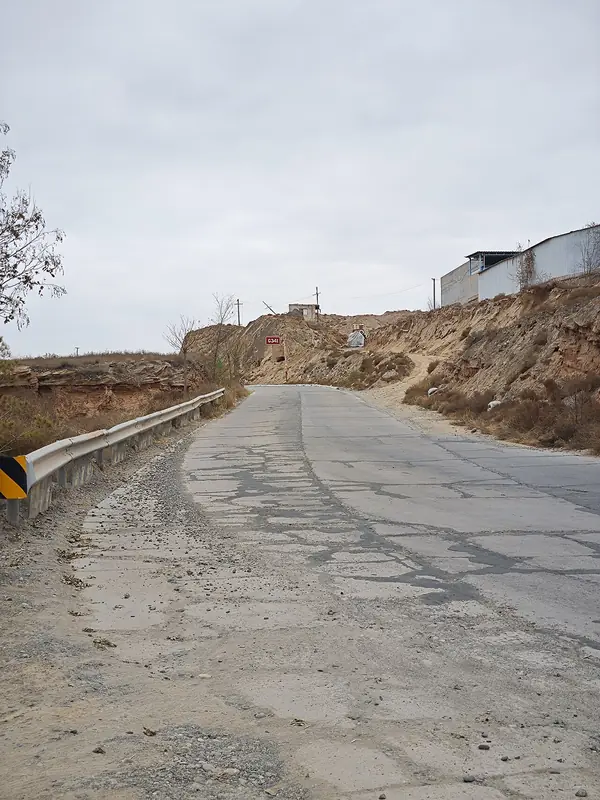
Photo adjustments
Full frame retained; EXIF orientation normalized, proportionally resized to at most 800 pixels and converted to WebP. No generated pixels or subject changes. Cards may crop the display.
- Administrative area
- County · 县
- Part of
- Baiyin
- Chinese name
- 靖远县
- Local areas
- County guide
Area & population
- Area in the source
- 5,809.40 km²
- Administrative seat
- Wulan
Source: cited geographic source, as of the dates shown.
Setting and landscape
The county is split into two separate tracts, north and south of Pingchuan District (平川区). The ground, higher in the west, lies between 1,300 and 3,017 metres. The land divides into three zones: gravity-irrigated land along the Yellow River, high-lift irrigation districts, and arid and semi-arid mountain areas. The mean annual temperature is 10.7°C and rainfall 226.7 mm. The county is nicknamed "south of the Yangtze beyond the frontier" (塞上江南).
History
A county was first set up here in 114 BC under Emperor Wu of the Han. Older traces include the Neolithic Miaowashan site (庙洼山遗址) and the Wujiachuan rock art (吴家川岩画), made by Spring and Autumn-period nomads. Known in the Tang for millet, the area was renamed Suzhou (粟州, "millet prefecture") in 634.
The Ming officer Fang Gui (房贵), a native of Hefei (合肥), founded the Jinglu Garrison (靖虏卫) in 1436 and built its walled town. In 1438 he also brought water wheels from his home region to lift Yellow River water; each wheel has 32 spokes, 32 paddle boards and 32 buckets. In October 1936 units of the Red Army's Fourth Front Army forced a crossing of the Yellow River at Hubaokou (虎豹口).
What to see
Faquan Temple (法泉寺) is the largest cave-temple complex in the county. Founded under the Northern Wei, it stands where springs rise below a red cliff, and keeps 36 caves with Buddhist sculpture and murals from the Tang onward.
The Bell and Drum Tower (钟鼓楼) stands in the centre of the county town. Fang Gui built it in 1438; it burned in 1866 and was restored in 1987–1990. In 1988 a farmer in Beitan (北滩) dug up an inscribed silver plate of the Eastern Roman period, 31 cm across, whose central figure most scholars identify as the Greek god Dionysus; the plate is now held by the Gansu Provincial Museum.
Food and local products
Sanfan (糁饭) is rice or millet boiled until nearly soft, then stirred together with flour into a sticky mass; a local saying holds that good sanfan takes 360 stirs. Saozi noodles (臊子面) are long wheat noodles served in a broth of diced pork belly, potato, tofu and glass noodles, and are eaten at every celebration.
Getting oriented
The county town lies 70 km from Baiyin and 120 km from Lanzhou (兰州). The Beijing–Lhasa Expressway (京藏高速), national roads G109 and G247, and the Zhongwei–Lanzhou high-speed railway (中兰高铁) cross the county, with high-speed stations at Jingyuan North and Beitan.
Highlights
- Faquan Temple 法泉寺: Northern Wei cave temple with 36 surviving caves of sculpture and murals.
- Bell and Drum Tower 钟鼓楼: Built by Fang Gui in 1438 in the centre of the county town.
- Yellow River water wheels 靖远水车: Wooden lifting wheels used along the river since 1438.
- Sanfan 糁饭: Rice or millet stirred with flour into a sticky staple.
- Saozi noodles 臊子面: Long noodles in pork-belly broth, eaten at celebrations.
Sources for this guide
靖远县县情简介 · Jingyuan County People's Government
法泉寺石窟 · Jingyuan County People's Government
靖远水车 · Jingyuan County People's Government
古罗马鎏金银盘 · Jingyuan County People's Government
靖远风味美食 · Jingyuan County People's Government
靖远钟鼓楼 · Jingyuan County People's Government
Jingyuan County, Gansu - Wikipedia · Wikipedia (English) · CC BY-SA 4.0
白银历史沿革 · Baiyin Municipal People's Government
Original English written from the listed sources and checked sentence by sentence against quoted extracts by a separate reviewer. Updated 2026-09-23.
Explore Jingyuan County
Core places to explore, with English and Chinese names.
Places to explore around Jingyuan County
 AI illustration · AI
 Plan your visit
Getting there
Jingyuan County is about 50 km in a straight line from central Baiyin. Search for 靖远县 in a map app to find stations and your accommodation.
Where to stay →Build your route
Start with Faquan Temple. The linked place guides have entrance and visit details.
Continue with Baiyin →More in Baiyin
Sources & geographic information
Administrative names and parent areas: Official geographic directory · Reference date 2026-09-06.
Some facts checked against Jingyuan County, Gansu — Wikipedia contributors, CC BY-SA 4.0.
Map data © OpenStreetMap contributors. Pins mark approximate centres, not entrances or boundaries.