


Get to know Xigu District
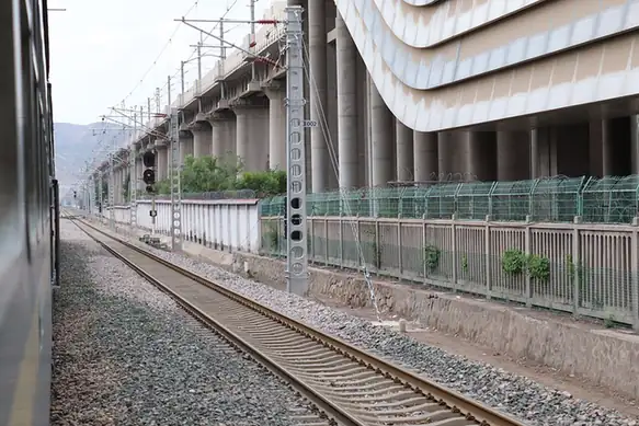
Photo adjustments
EXIF orientation normalized; resized without changing aspect ratio; converted to WebP. No subject edits.
- Administrative area
- District · 市辖区
- Part of
- Lanzhou
- Chinese name
- 西固区
- Local areas
- District guide
Area & population
- Area in the source
- 385.30 km²
- Population · 2012
- 325,800
- Administrative seat
- Fulilu Subdistrict
Source: cited geographic source, as of the dates shown.
Setting and landscape
The land is highest in the south and south-west and lowest in the north-east, with hills on both banks sloping down to the Yellow River valley. The top of the district is Guanshan (关山), 2,627 metres, on the border with Yongjing County (永靖县); the lowest point, about 1,522 metres, is on the Yellow River near Beitan (北滩). The river runs 37.5 kilometres through the district. At Chalu village (岔路村) in Dachuan (达川) it receives the Huangshui (湟水), its largest tributary on the Lanzhou stretch, and at Hekou village (河口村) the Zhuanglang River (庄浪河). South of the river, loess ridges have been terraced for grain, lilies and medicinal herbs. Within the built-up area, the line of Xigu West, Middle and East roads divides factories to the north from housing to the south.
History
In 121 BC, during Huo Qubing's (霍去病) campaign to the west, a walled town was built beside the river here and Jincheng County (金城县) was set up; the district government traces Lanzhou's old name, Jincheng, to this town. Jincheng Commandery followed in 81 BC, and the district was later the seat of the Western Qin (西秦) state. The Song built forts along the river in 1082 against the Western Xia, and in 1499 the Ming rebuilt one of them, the Xiguan fort (西关堡); under the Qing it took the name Xigucheng (西固城), meaning "firm city".
Xigu joined Lanzhou in 1952 and received its present name in 1955. During the First Five-Year Plan, five of the 156 key national projects were built here: a waterworks, a thermal power plant, an oil refinery, a rubber plant and a fertiliser plant, producing some of the People's Republic's first synthetic rubber and chemical fertiliser.
What to see
Hekou Old Town (河口古镇) is a national 4A scenic area and is listed as a China Traditional Village. Green spaces named by the district include Jincheng Park (金城公园), Guanshan Forest Park (关山森林公园), Nanshan Forest Park (南山森林公园) and the Sanjiangkou wetland (三江口湿地).
Getting oriented
National highways 109 and 312 and the Lanzhou–Haikou Expressway (兰海高速) pass through the district towards Qinghai, Xinjiang and Tibet, and the Lanzhou–Xinjiang, Longhai and Lanzhou–Chongqing railways converge here. The Lanzhou International Land Port (兰州国际陆港) in Xigu dispatches freight trains to Europe and Central and South Asia.
Highlights
- Hekou Old Town 河口古镇: National 4A scenic area listed as a China Traditional Village.
- Guanshan 关山: Highest point of the district at 2,627 m, on the Yongjing border, now a forest farm.
- Sanjiangkou wetland 三江口湿地: Wetland named by the district among its natural sights.
Sources for this guide
西固区人民政府 区情简介 · Xigu District People's Government, Lanzhou
西固区人民政府 历史沿革 · Xigu District People's Government, Lanzhou
西固区人民政府 地理环境 · Xigu District People's Government, Lanzhou
西固区 - 维基百科 · Chinese Wikipedia · CC BY-SA 4.0
Original English written from the listed sources and checked sentence by sentence against quoted extracts by a separate reviewer. Updated 2026-09-23.
Explore Xigu District
Core places to explore, with English and Chinese names.
Xigu District 西固区
Plan your visit
Getting there
Xigu District is about 20 km in a straight line from central Lanzhou. Search for 西固区 in a map app to find stations and your accommodation.
Where to stay →More in Lanzhou
Sources & geographic information
Administrative names and parent areas: Official geographic directory · Reference date 2026-09-06.
Some facts checked against 西固区 — Wikipedia contributors, CC BY-SA 4.0.
Map data © OpenStreetMap contributors. Pins mark approximate centres, not entrances or boundaries.