


Get to know Meilisi Daur District
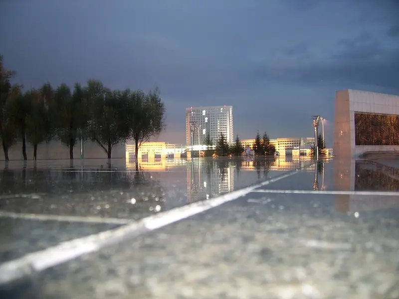
Photo adjustments
Full frame retained; EXIF orientation normalized, proportionally resized to at most 800 pixels and converted to WebP. No generated pixels or subject changes. Cards may crop the display.
- Administrative area
- District · 市辖区
- Part of
- Qiqihar
- Chinese name
- 梅里斯达斡尔族区
- Local areas
- District guide
Area & population
- Area in the source
- 1,948.00 km²
- Population · 2010
- 165,852
Source: cited geographic source, as of the dates shown.
Setting and landscape
The district sits on the Nen River plain, flat and open, over 2,078 square kilometres of farmland, grassland and woodland. Besides the Nen, which runs 92 kilometres through the district, the district has three other rivers: the Yin (音河), the Arun (阿伦河) and the Ergou (二沟河). The climate is mid-temperate continental monsoon, with windy dry springs, wet summers, clear frosty autumns and cold dry winters; the frost-free season lasts 136 days.
Daur heritage
The district government calls the Daur the earliest developers of the Nen valley and Meilisi the birthplace of Qiqihar city, noting that the city's name is a transliteration of a Daur word and that the legend of 'the wind blowing Bukui' (风刮卜奎) is still told. Daur myths and folk tales, the sung storytelling form uqin (乌钦) and the song-and-dance forms zhandale (扎恩达勒) and hakumai (哈库麦) are on the national intangible cultural heritage list. Hala New Village (哈拉新村) and the Daur Folk Custom Ecological Park (达斡尔族风情生态园) are national AAA scenic areas.
Food and local products
Of Daur dishes, the district government singles out kumle (库木勒), a soup made with willow-wormwood shoots (柳蒿芽). The district government credits the plant with carrying the Daur through war and famine. At the yearly Kumle Festival on the Hala grassland beside the Nen, cooks simmer meat broth, deboned catfish and potatoes over pine fires until thick, then add chopped shoot tips and serve the soup with steaming hand-held meat (手把肉).
Meilisi onions and youdoujiao beans (油豆角) are national geographical-indication farm products, and the China Circular Economy Development Centre has named the district a home of onions, ground cherries (菇娘) and melons.
Getting oriented
China National Highway 301, the Qigan expressway (齐甘高速), the Qicha road (齐查公路) and the Nianbei road (碾北公路) cross the district. By the district government's figures it is 23 kilometres from Qiqihar railway station, 18 from Qiqihar South station, 10 from Fularji station and 8 from Qiqihar airport.
Highlights
- Hala New Village 哈拉新村: A national AAA scenic area; the Kumle Festival is held on the Hala grassland by the Nen River.
- Daur Folk Custom Ecological Park 达斡尔族风情生态园: A national AAA scenic area in the district.
- Kumle soup 库木勒: Daur soup of willow-wormwood shoots cooked with meat broth, deboned catfish and potatoes.
- Meilisi onions 梅里斯洋葱: A national geographical-indication farm product.
Sources for this guide
梅里斯达斡尔族区区情概况 (Meilisi Daur District overview) · Meilisi Daur District People's Government, Qiqihar
库木勒—达斡尔人专属的味道 (Kumle, the taste of the Daur) · Meilisi Daur District People's Government, Qiqihar
Original English written from the listed sources and checked sentence by sentence against quoted extracts by a separate reviewer. Updated 2026-09-24.
Explore Meilisi Daur District
Core places to explore, with English and Chinese names.
Meilisi Daur District 梅里斯达斡尔族区
Plan your visit
Getting there
Meilisi Daur District is about 15 km in a straight line from central Qiqihar. Search for 梅里斯达斡尔族区 in a map app to find stations and your accommodation.
Where to stay →More in Qiqihar
Sources & geographic information
Administrative names and parent areas: Official geographic directory · Reference date 2026-09-06.
Map data © OpenStreetMap contributors. Pins mark approximate centres, not entrances or boundaries.