


Get to know Nancha
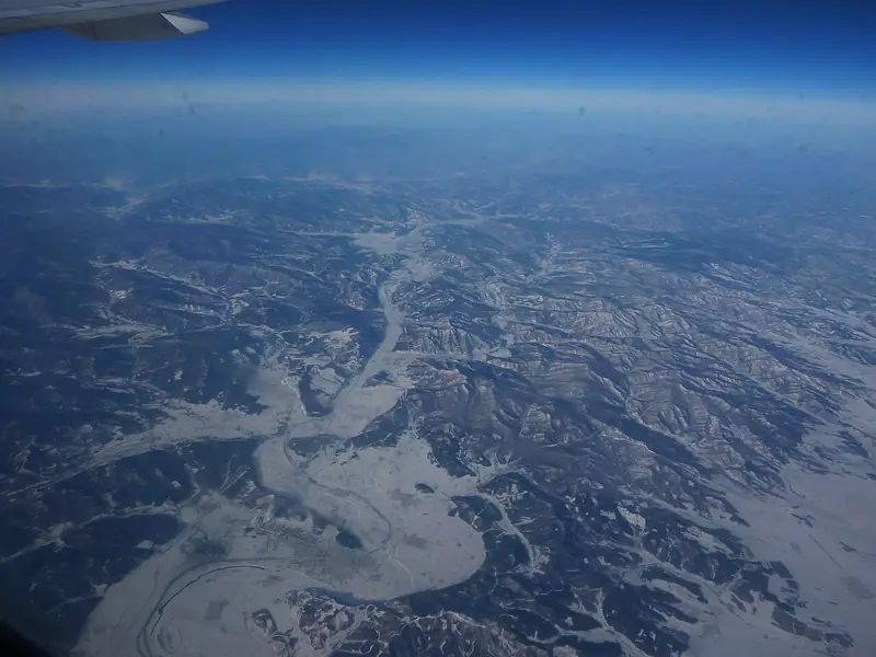
Photo adjustments
Full frame retained; EXIF orientation normalized, proportionally resized to at most 800 pixels and converted to WebP. No generated pixels or subject changes. Cards may crop the display.
- Administrative area
- County · 县
- Part of
- Yichun
- Chinese name
- 南岔县
- Local areas
- County guide
Area & population
- Area in the source
- 3,088.41 km²
- Population · 2014
- 134,581
- Administrative seat
- District Committee of Nancha (南岔区委)
Source: cited geographic source, as of the dates shown.
Setting and landscape
The county government puts forest cover at 89.4 percent. Korean pine, spruce, fir, Mongolian Scots pine, larch, Manchurian ash, Manchurian walnut, Amur cork tree, birch, linden and oak are among the main trees. The climate is continental: springs warm quickly and are windy and dry, summers are warm and wet, autumn cools sharply and winters are long, cold and dry, with a frost-free season of about 115 days. The county government records extremes of 38.2°C and -44.2°C.
History
When Tangyuan County (汤原县) was set up in 1905, late in the Qing, Nancha came under it. It became Nancha town in September 1955 and Nancha District of Yichun in November 1957, and in 1964 the district government and the Nancha Forestry Bureau were merged into a single body. In 2019, during Yichun's reorganisation, Nancha District was abolished and replaced by Nancha County.
What to see
China National Radio reported that for the 2025 May Day holiday the Xianweng Mountain (仙翁山) scenic area offered climbs to viewpoints and forest hikes, with visitors joining events such as planting azaleas and digging wild greens. Beside the scenic area, Wutong village (梧桐村) has a guesthouse and a restaurant serving medicinal cuisine.
Getting oriented
The county government gives distances of 100 km to central Yichun, 120 km to Yichun Lindu Airport (林都机场), 100 km to Hegang (鹤岗), 120 km to Jiamusi (佳木斯) and 350 km to Harbin. The county holds 126 km of railway, and the Jinnan road (金南路) is graded a national Class I highway. The four towns are Nancha, Haolianghe (浩良河), Chenming (晨明) and Wutong (梧桐).
Highlights
- Xianweng Mountain 仙翁山: Scenic area with mountain walks, forest hikes and spring azalea planting, per China National Radio.
Sources for this guide
南岔县 - 维基百科,自由的百科全书 · Chinese Wikipedia · CC BY-SA 4.0
区县_南岔县人民政府 · Nancha County People's Government
伊春市南岔县:生态康养游激活假日消费新活力_央广网 · China National Radio (CNR)
Original English written from the listed sources and checked sentence by sentence against quoted extracts by a separate reviewer. Updated 2026-09-24.
Explore Nancha
Core places to explore, with English and Chinese names.
Plan your visit
Getting there
Nancha is about 75 km in a straight line from central Yichun. Search for 南岔县 in a map app to find stations and your accommodation.
Where to stay →More in Yichun
Sources & geographic information
Administrative names and parent areas: Official geographic directory · Reference date 2026-09-06.
Some facts checked against 南岔县 — Wikipedia contributors, CC BY-SA 4.0.
Map data © OpenStreetMap contributors. Pins mark approximate centres, not entrances or boundaries.