


Get to know Ganquan County
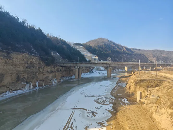
Photo adjustments
Full frame retained; proportionally resized and converted to WebP. No retouching or changes to the photographed subject. Card displays may crop the view.
- Administrative area
- County · 县
- Part of
- Yan'an
- Chinese name
- 甘泉县
- Local areas
- County guide
Area & population
- Area in the source
- 2,276.10 km²
Source: cited geographic source, as of the dates shown.
Red sandstone beneath loess
The National Forestry and Grassland Administration describes the canyon as red sandstone landforms developed from Cretaceous continental sedimentary rocks of the Ordos Basin (鄂尔多斯盆地). Long uplift, weathering and erosion shaped them, with loess covering the rocks above. The agency specifically distinguishes these formations from the Danxia landforms of southeastern China.
Springs, roads and village food
Other stops within Ganquan include Meishui Spring Site Park (美水泉遗址公园), a surviving section of the Qin Straight Road (秦直道) and the old ginkgo at Bailu Temple (白鹿寺). Shimen Tofu Town (石门豆腐小镇) adds village buildings and local food culture, while Ganquan lotus lanterns (甘泉莲花灯) belong to the county’s folk traditions.
Sources for this guide
甘泉县概况--甘泉县人民政府 · Ganquan County Government
“关于建议设立延安市甘泉大峡谷国家地质公园的提案”复文(2022年第05017号(资源环境类387号))_国家林业和草原局政府网 · National Forestry and Grassland Administration
Original English written from the listed sources and checked sentence by sentence against quoted extracts by a separate reviewer. Updated 2026-09-26.
Explore Ganquan County
Core places to explore, with English and Chinese names.
Places to explore around Ganquan County
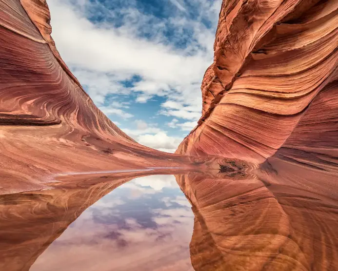 Ganquan Yucha Grand Canyon Visitor Area ·
 Plan your visit
Getting there
Ganquan County is about 45 km in a straight line from central Yan'an. Search for 甘泉县 in a map app to find stations and your accommodation.
Where to stay →Build your route
Start with Ganquan Yucha Grand Canyon Visitor Area. The linked place guides have entrance and visit details.
Continue with Yan'an →More in Yan'an
Sources & geographic information
Administrative names and parent areas: Official geographic directory · Reference date 2026-09-06.
Photo: Ganquan Yucha Grand Canyon Visitor Area · Source photographer · License not provided. EXIF orientation normalized; resized without changing aspect ratio; converted to WebP. No subject edits.
Map data © OpenStreetMap contributors. Pins mark approximate centres, not entrances or boundaries.