


Get to know Fu County
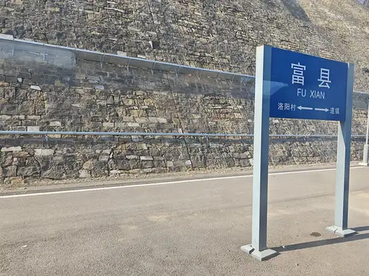
Photo adjustments
EXIF orientation normalized; resized without changing aspect ratio; converted to WebP. No subject edits.
- Administrative area
- County · 县
- Part of
- Yan'an
- Chinese name
- 富县
- Local areas
- County guide
Area & population
- Area in the source
- 4,179.90 km²
- Population · 2012
- 150,500
Source: cited geographic source, as of the dates shown.
Rivers and rural tourism
The Luo River (洛河) and Hulu River (葫芦河) form the county’s two principal river systems. Zhiluo Town (直罗镇) contains Qin Straight Road (秦直道) remains, Shihong Temple Grottoes (石泓寺石窟) and Baishan Temple Pagoda (柏山寺塔). A 2021 municipal account describes rice-planting festivals and mountain-bike races held in Hujiapo Village (胡家坡村) as part of its rural tourism programme.
Names, towers and collections
The area became Fuzhou (鄜州) in 618, then Fu County (鄜县) in 1912; the county name changed to its present Chinese spelling in 1964. Other surviving heritage includes Kaiyuan Temple Pagoda (开元寺塔). Fuzhou Museum (鄜州博物馆) exhibits objects from the county’s cultural collection.
Sources for this guide
富县概况--延安市人民政府 · Yan’an Municipal Government
富县直罗镇及胡家坡村入选2020年陕西省旅游特色名镇和乡村旅游示范村--延安市人民政府 · Yan’an Municipal Government
Original English written from the listed sources and checked sentence by sentence against quoted extracts by a separate reviewer. Updated 2026-09-27.
Explore Fu County
Core places to explore, with English and Chinese names.
Plan your visit
Getting there
Fu County is about 75 km in a straight line from central Yan'an. Search for 富县 in a map app to find stations and your accommodation.
Where to stay →More in Yan'an
Sources & geographic information
Administrative names and parent areas: Official geographic directory · Reference date 2026-09-06.
Map data © OpenStreetMap contributors. Pins mark approximate centres, not entrances or boundaries.