


Get to know Wuqi County
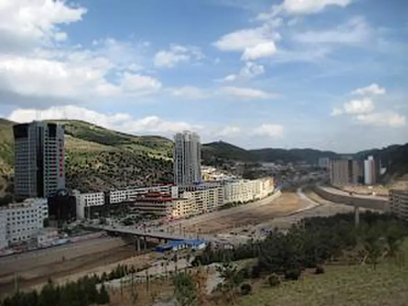
Photo adjustments
EXIF orientation normalized; resized without changing aspect ratio; converted to WebP. No subject edits.
- Administrative area
- County · 县
- Part of
- Yan'an
- Chinese name
- 吴起县
- Local areas
- County guide
Area & population
- Area in the source
- 3,788.50 km²
- Population · 2012
- 145,600
Source: cited geographic source, as of the dates shown.
The end of the march
The Central Red Army arrived in Wuqi on 19 October 1935 at the end of its Long March. Sites commemorating the arrival include Mao Zedong’s former residence (毛泽东旧居), known as Xinyaoyuan (新窑院). Restored in 1966, the residence’s collection brought together Long March objects gathered from a revolutionary museum in Lanzhou (兰州) and local communes. Replicas of sixteen objects were made in 1972.
Changing the hills
The county began restricting grazing and returning farmland to forest in 1998. Its regional food traditions also include Wuqi chopped buckwheat noodles (吴起剁荞面), whose makers demonstrate a distinctive noodle-cutting technique.
Sources for this guide
吴起概况--吴起县人民政府 · Wuqi County Government
吴起旅游之毛泽东旧居--吴起县人民政府 · Wuqi County Government
陕西省非遗项目吴起剁荞面技艺受邀参加山东聊城2025大运河非遗旅游大会--吴起县人民政府 · Wuqi County Government
Original English written from the listed sources and checked sentence by sentence against quoted extracts by a separate reviewer. Updated 2026-09-26.
Explore Wuqi County
Core places to explore, with English and Chinese names.
Wuqi County 吴起县
Plan your visit
Getting there
Wuqi County is about 120 km in a straight line from central Yan'an. Search for 吴起县 in a map app to find stations and your accommodation.
Where to stay →More in Yan'an
Sources & geographic information
Administrative names and parent areas: Official geographic directory · Reference date 2026-09-06.
Map data © OpenStreetMap contributors. Pins mark approximate centres, not entrances or boundaries.