


Get to know Puxian
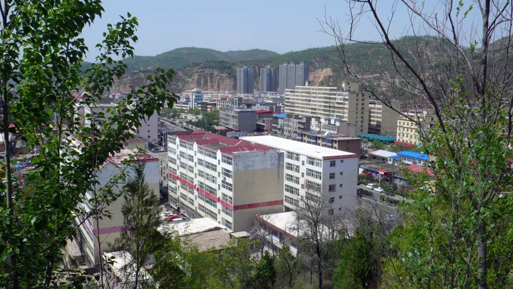
Photo adjustments
Full frame retained; proportionally resized and converted to WebP. No retouching or changes to the photographed subject. Card displays may crop the view.
- Administrative area
- County · 县
- Part of
- Linfen
- Chinese name
- 蒲县
- Local areas
- County guide
Area & population
- Area in the source
- 1,513.00 km²
- Population · 2010
- 107,339
Source: cited geographic source, as of the dates shown.
Mountains and cultural sites
Wulushan National Nature Reserve (五鹿山国家级自然保护区) and Meidongshan Natural Forest Reserve (梅洞山天然林保护区) represent the county’s protected landscapes. Cultural destinations include Baishan Dongyue Temple (柏山东岳庙), Zhenwu Shrine (真武祠), the Duan Yun Calligraphy Gallery (段云书艺馆) and Puzi Cultural Palace (蒲子文化宫).
Early settlement and local products
Excavation of the Longwangmiao Microlithic Site (龙王庙细石器遗址) in Xueguan Town (薛关镇) provides evidence of settlement about 12,000 years ago. The county’s agricultural products include maize, potatoes and vegetables, alongside naked oats, buckwheat and beans. Walnuts and apples are among its fruit products. The writer Xirong (西戎), author of Lüliang Heroes (吕梁英雄传), came from Puxian.
Sources for this guide
蒲县简介-蒲县简介-蒲县人民政府门户网站 · Puxian County Government
Original English written from the listed sources and checked sentence by sentence against quoted extracts by a separate reviewer. Updated 2026-09-26.
Explore Puxian
Core places to explore, with English and Chinese names.
Plan your visit
Getting there
Puxian is about 50 km in a straight line from central Linfen. Search for 蒲县 in a map app to find stations and your accommodation.
Where to stay →More in Linfen
Sources & geographic information
Administrative names and parent areas: Official geographic directory · Reference date 2026-09-06.
Map data © OpenStreetMap contributors. Pins mark approximate centres, not entrances or boundaries.