


Get to know Linshui County
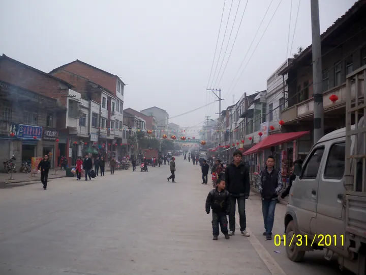
Photo adjustments
Full frame retained; proportionally resized and converted to WebP. No retouching or changes to the photographed subject. Card displays may crop the view.
- Administrative area
- County · 县
- Part of
- Guang'an
- Chinese name
- 邻水县
- Local areas
- County guide
Area & population
- Area in the source
- 1,919.22 km²
- Population · 2020
- 707,537
Source: cited geographic source, as of the dates shown.
Water inside the mountain
Tianyi Valley (天意谷) combines high mountains, gorges and karst caves. Its Dongzhong Tianhe (洞中天河), or Heavenly River in a Cave, is a waterfall inside a cave. Another formation, the Natural Stone Buddha (天然石佛), owes its Buddha-like shape to dripping water. Ravines, springs and waterfalls run through the vegetated valley.
Lakes and wooded heights
Wuhua Mountain (五华山) has peaks, woods and unusual trees, with the scenic area averaging 800–1,000 metres in elevation. Elsewhere, the Little Three Gorges of the Yulin River (御临河小三峡) combine waterways, springs and caves. Dahong Lake (大洪湖) adds an island-dotted water landscape to the county's mountain-and-valley terrain.
Sources for this guide
四川邻水:促文旅融合发展 建川渝旅游胜地-新华网 · Xinhua
邻水县大力实施“旅游强县”战略,按照“一城三带六区”旅游发展总体布局——深耕山水资源 逐梦全域旅游-文明旅游-邻水县人民政府 · Linshui County Government
Original English written from the listed sources and checked sentence by sentence against quoted extracts by a separate reviewer. Updated 2026-09-26.
Explore Linshui County
Core places to explore, with English and Chinese names.
Places to explore around Linshui County
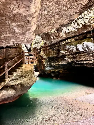 Tianyi Valley ·
 Plan your visit
Getting there
Linshui County is about 40 km in a straight line from central Guang'an. Search for 邻水县 in a map app to find stations and your accommodation.
Where to stay →Build your route
Start with Tianyi Valley. The linked place guides have entrance and visit details.
Continue with Guang'an →More in Guang'an
Sources & geographic information
Administrative names and parent areas: Official geographic directory · Reference date 2026-09-06.
Photo: Tianyi Valley · Source photographer · License not provided. EXIF orientation normalized; resized without changing aspect ratio; converted to WebP. No subject edits.
Map data © OpenStreetMap contributors. Pins mark approximate centres, not entrances or boundaries.