


Get to know Wusheng County
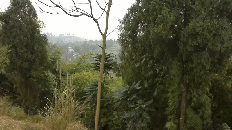
Photo adjustments
EXIF orientation normalized; resized without changing aspect ratio; converted to WebP. No subject edits.
- Administrative area
- County · 县
- Part of
- Guang'an
- Chinese name
- 武胜县
- Local areas
- County guide
Area & population
- Area in the source
- 966.00 km²
- Population · 2020 census
- 555,897
Source: cited geographic source, as of the dates shown.
A house built for defence
Baozhensai stands among fields in Fangjiagou Village (方家沟村), Baozhensai Town (宝箴塞镇). Its east–west plan forms an irregular dumbbell shape, enclosed by stone walls with a continuous passage along them. Eastern and western compounds follow the hillside, enclosing courtyards, light wells, halls and wooden galleries. The Guang'an municipal government describes a combination of southern Fujian (闽南) fortified-building style and Jiangnan (江南) domestic architecture, with hidden passages among the rooms.
Household and river life
The Duan Family Courtyard (段家大院) was the living space of the family that built Baozhensai. A theatre-viewing building also survives inside the fortress. Elsewhere in the county, Yankou was a river port on the Jialing River (嘉陵江), within the scenic stretch known as its Ten-Li Gallery (嘉陵江十里画廊).
Sources for this guide
深藏田野间的宝箴塞-新华网 · Xinhua
宝箴塞旅游区(AAAA) - 广安市人民政府 · Guang’an Municipal Government
武胜县人民政府 · Wusheng County Government
Original English written from the listed sources and checked sentence by sentence against quoted extracts by a separate reviewer. Updated 2026-09-26.
Explore Wusheng County
Core places to explore, with English and Chinese names.
Places to explore around Wusheng County
 AI illustration · AI
 Plan your visit
Getting there
Wusheng County is about 35 km in a straight line from central Guang'an. Search for 武胜县 in a map app to find stations and your accommodation.
Where to stay →Build your route
Start with Baozhen Fortress. The linked place guides have entrance and visit details.
Continue with Guang'an →More in Guang'an
Sources & geographic information
Administrative names and parent areas: Official geographic directory · Reference date 2026-09-06.
Map data © OpenStreetMap contributors. Pins mark approximate centres, not entrances or boundaries.