


Get to know Huidong County
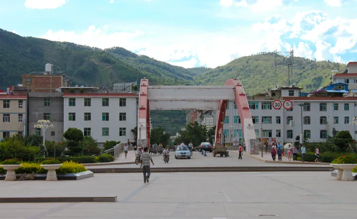
Photo adjustments
Full frame retained; proportionally resized and converted to WebP. No retouching or changes to the photographed subject. Card displays may crop the view.
- Administrative area
- County · 县
- Part of
- Liangshan Yi Autonomous Prefecture
- Chinese name
- 会东县
- Local areas
- County guide
Area & population
- Area in the source
- 3,227.00 km²
- Population · 2020
- 346,082
- Administrative seat
- Shenyuhe
Source: cited geographic source, as of the dates shown.
What to see
The scenic area lies in Tieliu Town (铁柳镇), 56 kilometres from the county seat, on the river’s northern bank. Walkways follow the cliffs through a succession of weathered rock formations. The peak takes its name from a rock resembling the Daoist figure Laojun holding a fly whisk and making an elixir. Named formations include Shenhou Baiyue (神猴拜月), or Monkey Worshipping the Moon, and Laojun Liandan (老君炼丹), or Laojun Making Elixir.
History and craft
Copper ore and ceramic clay once helped make this an important trading passage between Sichuan and Yunnan (云南). Copper-smelting and pottery-kiln remains survive. Caijiachang (蔡家厂) is associated with the manufacture of pottery jars and pots, a tradition described by Sichuan Online as extending back three centuries.
Sources for this guide
【历史文化】沧桑巨变老君峰‖赵海华 _史料之窗_文化纵横_四川省情网 · Sichuan Provincial Local Chronicles Office
探秘会东老君峰_四川在线 · Sichuan Online
Original English written from the listed sources and checked sentence by sentence against quoted extracts by a separate reviewer. Updated 2026-09-27.
Explore Huidong County
Core places to explore, with English and Chinese names.
Huidong County 会东县
Plan your visit
Getting there
Huidong County is about 140 km in a straight line from central Liangshan Yi Autonomous Prefecture. Search for 会东县 in a map app to find stations and your accommodation.
Where to stay →More in Liangshan Yi Autonomous Prefecture
Sources & geographic information
Administrative names and parent areas: Official geographic directory · Reference date 2026-09-06.
Map data © OpenStreetMap contributors. Pins mark approximate centres, not entrances or boundaries.