


Get to know Anle District
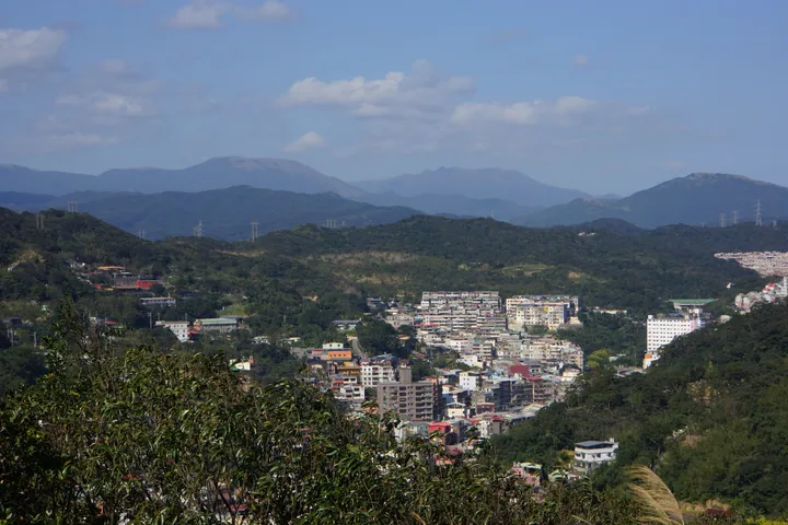
Photo adjustments
Full frame retained; proportionally resized and converted to WebP. No retouching or changes to the photographed subject. Card displays may crop the view.
- Administrative area
- District · 區
- Part of
- Keelung City
- Chinese name
- 安樂區
- Local areas
- District guide
Area & population
- Area in the source
- 18.03 km²
Source: cited geographic source, as of the dates shown.
Lake circuits
Six mountain streams feed Lovers Lake on the mountainside. Its inner lakeside path runs for about 1.4 kilometres, while an outer mountain circuit follows slopes and ridges for about 1.6 kilometres. The park also contains a suspension bridge, pavilions and viewing platforms. Much of the surrounding woodland is secondary natural forest.
Dawulun Fort
The fort stands on the summit at 231 metres above sea level, overlooking the lake to the west. Its main components are barracks, a gun platform and an outer bastioned wall. A walkway and parapet surround the fort. Its position served both land and coastal defence, with artillery and infantry stationed together.
Sources for this guide
交通部觀光署 北海岸及觀音山國家風景區管理處觀光資訊網/玩樂景點/區域導覽/基隆地區/情人湖公園 · North Coast and Guanyinshan National Scenic Area Administration
交通部觀光署 北海岸及觀音山國家風景區管理處觀光資訊網/玩樂景點/區域導覽/基隆地區/大武崙砲台 · North Coast and Guanyinshan National Scenic Area Administration
Original English written from the listed sources and checked sentence by sentence against quoted extracts by a separate reviewer. Updated 2026-09-27.
Explore Anle District
Core places to explore, with English and Chinese names.
Anle District 安樂區
Plan your visit
Getting there
Anle District is about 4 km in a straight line from central Keelung City. Search for 安樂區 in a map app to find stations and your accommodation.
Where to stay →More in Keelung City
Sources & geographic information
Administrative names and parent areas: Official geographic directory · Reference date 2026-09-06.
Map data © OpenStreetMap contributors. Pins mark approximate centres, not entrances or boundaries.