


Get to know Xinyi District
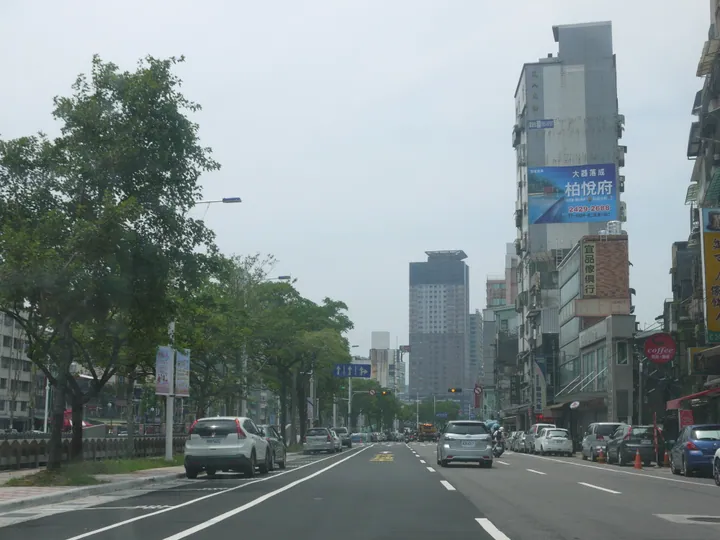
Photo adjustments
Full frame retained; proportionally resized and converted to WebP. No retouching or changes to the photographed subject. Card displays may crop the view.
- Administrative area
- District · 區
- Part of
- Keelung City
- Chinese name
- 信義區
- Local areas
- District guide
Area & population
- Area in the source
- 11.00 km²
Source: cited geographic source, as of the dates shown.
Lingquan Temple
Lingquan Temple (靈泉禪寺) on Yuemei Mountain (月眉山) originated in an initiative by monks Shanzhi (善智) and Shanhui (善慧) in 1899. The district office describes its original courtyard arrangement: Maitreya and the Four Heavenly Kings in the front hall, with Shakyamuni in the main rear hall. Brick, tile, timber and stone formed the traditional buildings. Fujian artisan Lin Qifeng (林起鳳) carved its Buddhist figures. The temple is associated with the origin of the Yuemeishan Buddhist lineage.
Jile Temple
Fo Guang Shan Jile Temple (佛光山極樂寺) stands on the hillside above Tianliao River (田寮河). Its predecessor, Guangzun Temple (光尊寺), was founded in 1905; the rebuilt complex was completed in 1991. Golden roof tiles, an eight-storey layout and a smiling Maitreya at the entrance distinguish the building. Its main hall combines Buddhist statuary with wall paintings.
Sources for this guide
基隆市信義區公所-觀光景點-靈泉禪寺 (https://www.klsy.klcg.gov.tw/tw/klsy/1229-96278.html) · Keelung Xinyi District Office
佛光山極樂寺 (https://travel.klcg.gov.tw/TourContent.aspx?n=8103&s=1197) · Keelung Culture and Tourism Bureau
Original English written from the listed sources and checked sentence by sentence against quoted extracts by a separate reviewer. Updated 2026-09-30.
Explore Xinyi District
Core places to explore, with English and Chinese names.
Xinyi District 信義區
Plan your visit
Getting there
Xinyi District is about 4 km in a straight line from central Keelung City. Search for 信義區 in a map app to find stations and your accommodation.
Where to stay →More in Keelung City
Sources & geographic information
Administrative names and parent areas: Official geographic directory · Reference date 2026-09-06.
Map data © OpenStreetMap contributors. Pins mark approximate centres, not entrances or boundaries.