


Get to know Zhongshan District
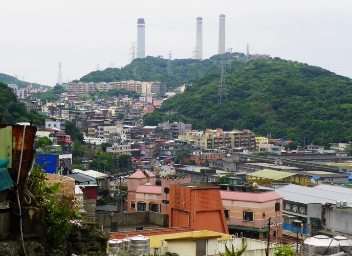
Photo adjustments
Full frame retained; proportionally resized and converted to WebP. No retouching or changes to the photographed subject. Card displays may crop the view.
- Administrative area
- District · 區
- Part of
- Keelung City
- Chinese name
- 中山區
- Local areas
- District guide
Area & population
- Area in the source
- 10.52 km²
Source: cited geographic source, as of the dates shown.
Harbour and shoreline
The roughly four-kilometre Huhai Road (湖海路) section links Waimushan Fishing Harbour (外木山漁港) with Dawulun Aodi fishing village (大武崙澳底漁村). Seafood restaurants and cafés are scattered along this stretch. Around Huhai Bay (湖海灣), long exposure to seawater has sculpted the coastal rocks into unusual shapes. Keelung Islet (基隆嶼) and ships entering the harbour are visible from the coastal path.
The coastal cycle route
The wider cycle route continues from Waimushan harbour to Wanli Happiness Plaza (萬里幸福廣場), covering about five kilometres. It combines the Waimushan and Huhai Bay sections, with asphalt paving and zigzag steel walkways. A coastal leisure plaza near the route’s far end occupies a converted swimming pool, with seating areas.
Sources for this guide
交通部觀光署 北海岸及觀音山國家風景區管理處觀光資訊網/玩樂景點/區域導覽/基隆地區/外木山湖海灣 · North Coast and Guanyinshan National Scenic Area Administration
交通部觀光署 北海岸及觀音山國家風景區管理處觀光資訊網/玩樂景點/區域導覽/基隆地區/外木山自行車道 · North Coast and Guanyinshan National Scenic Area Administration
Original English written from the listed sources and checked sentence by sentence against quoted extracts by a separate reviewer. Updated 2026-09-27.
Explore Zhongshan District
Core places to explore, with English and Chinese names.
Zhongshan District 中山區
Plan your visit
Getting there
Zhongshan District covers the centre of Keelung City. Search for 中山區 in a map app to find stations and your accommodation.
Where to stay →More in Keelung City
Sources & geographic information
Administrative names and parent areas: Official geographic directory · Reference date 2026-09-06.
Map data © OpenStreetMap contributors. Pins mark approximate centres, not entrances or boundaries.