


Get to know Qidu District
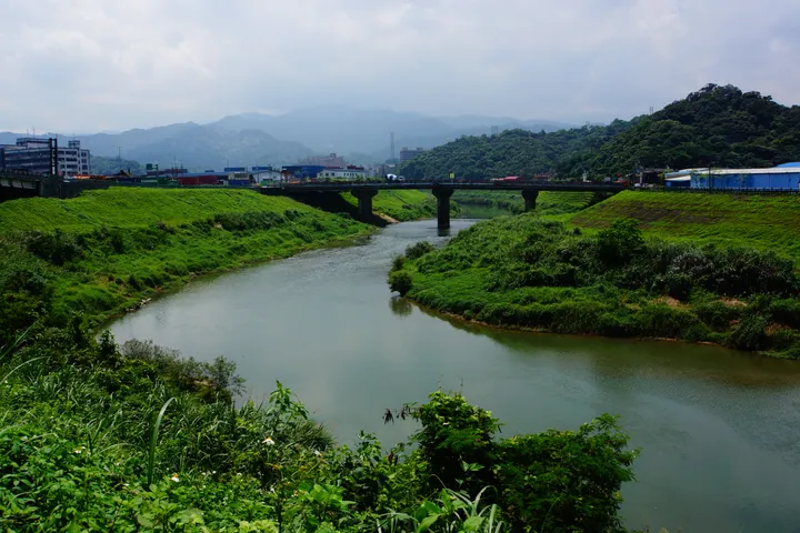
Photo adjustments
Full frame retained; proportionally resized and converted to WebP. No retouching or changes to the photographed subject. Card displays may crop the view.
- Administrative area
- District · 區
- Part of
- Keelung City
- Chinese name
- 七堵區
- Local areas
- District guide
Area & population
- Area in the source
- 56.00 km²
Source: cited geographic source, as of the dates shown.
The old station
Qidu Railway Park (七堵鐵道公園) contains the former Japanese-period station from Guangming Road. When railway realignment closed the old front station in 2007, the wooden building was dismantled piece by piece and reconstructed about thirty metres away. Its cypress beams and columns use fitted joints. Some timbers retain Governor-General markings, while insulators survive on the roof ridge. During reassembly, each component was numbered; decayed pieces were remade in the original material and style.
A wooded waterfall
Taian Waterfall (泰安瀑布), also called Caolanshan Waterfall (草濫山瀑布), offers another setting within Qidu. Stone steps wind through forest to the waterfall. Water drops from the cliff into a pool surrounded by dense vegetation; the nearby Jiangziliao hiking trail (姜子寮登山步道) provides a separate mountain-walking landmark.
Sources for this guide
七堵鐵道公園 (https://travel.klcg.gov.tw/TourContent.aspx?n=7838&s=576) · Keelung Culture and Tourism Bureau
泰安瀑布 (https://travel.klcg.gov.tw/TourContent.aspx?n=8103&s=562) · Keelung Culture and Tourism Bureau
Original English written from the listed sources and checked sentence by sentence against quoted extracts by a separate reviewer. Updated 2026-09-30.
Explore Qidu District
Core places to explore, with English and Chinese names.
Qidu District 七堵區
Plan your visit
Getting there
Qidu District is about 5 km in a straight line from central Keelung City. Search for 七堵區 in a map app to find stations and your accommodation.
Where to stay →More in Keelung City
Sources & geographic information
Administrative names and parent areas: Official geographic directory · Reference date 2026-09-06.
Map data © OpenStreetMap contributors. Pins mark approximate centres, not entrances or boundaries.