


Get to know Daya District
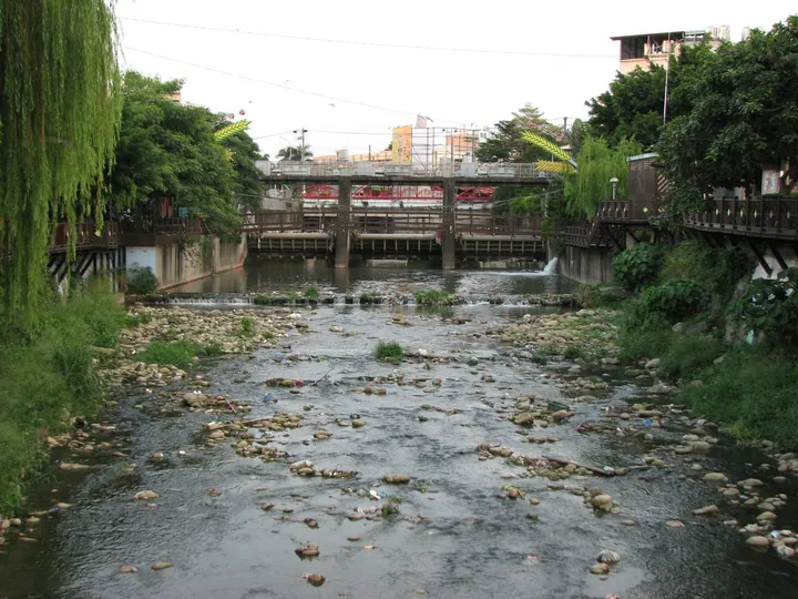
Photo adjustments
Full frame retained; proportionally resized and converted to WebP. No retouching or changes to the photographed subject. Card displays may crop the view.
- Administrative area
- District · 區
- Part of
- Taichung City
- Chinese name
- 大雅區
- Local areas
- District guide
Area & population
- Area in the source
- 32.41 km²
Source: cited geographic source, as of the dates shown.
Wheat fields and reused space
Mai Gen Primary Schoolhouse (麥根小學堂) is a wheat-themed visitor site created by reusing a disused space for education and recreation. The tourism bureau’s Daya route combines it with the wheat fields, Hengshan Park (中科橫山公園) and Yatan Night Market (雅潭夜市), where food stalls sit alongside merchandise and entertainment.
Parks and a regional cycle route
Daya Zhongke Park (大雅中科公園) has three 22-metre hillside terrazzo slides, a paper-airplane sculpture and a sandpit. Hengshan Park adjoins the Central Taiwan Science Park and has broad grounds and varied ecology. The 13.6-kilometre Tanya Shen Greenway (潭雅神綠園道) passes through Daya, Tanzi, Fengyuan and Shengang; its attractions are spread across those districts.
Sources for this guide
travel.taichung.gov.tw (https://travel.taichung.gov.tw/zh-tw/event/newsdetail/10126) · Taichung Tourism and Travel Bureau
百大婚纱精选游程 - 大雅金黄麦香一日游-台中观光旅游网 Taichung Tourism (https://travel.taichung.gov.tw/zh-cn/tourist/tour/1015) · Taichung Tourism and Travel Bureau
Original English written from the listed sources and checked sentence by sentence against quoted extracts by a separate reviewer. Updated 2026-09-30.
Explore Daya District
Core places to explore, with English and Chinese names.
Daya District 大雅區
Plan your visit
Getting there
Daya District is about 9 km in a straight line from central Taichung City. Search for 大雅區 in a map app to find stations and your accommodation.
Where to stay →More in Taichung City
Sources & geographic information
Administrative names and parent areas: Official geographic directory · Reference date 2026-09-06.
Map data © OpenStreetMap contributors. Pins mark approximate centres, not entrances or boundaries.