


Get to know Houli District
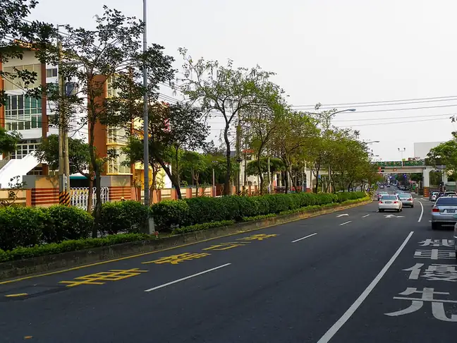
Photo adjustments
EXIF orientation normalized; resized without changing aspect ratio; converted to WebP. No subject edits.
- Administrative area
- District · 區
- Part of
- Taichung City
- Chinese name
- 后里區
- Local areas
- District guide
Area & population
- Area in the source
- 58.94 km²
Source: cited geographic source, as of the dates shown.
The horse ranch
Houli Horse Ranch (后里馬場) bred horses for the Japanese colonial government. Its first and second stables and headquarters date to 1912. After the war, the ranch served horse breeding and cavalry training; it later developed a recreational role while retaining buildings from the Japanese period.
Sugar-industry remains
Yuehmei Sugar Factory (月眉糖廠), founded in 1909, has an old locomotive at its entrance. A chimney, sugar railway vehicles and a station remain from its industrial life. These sugar railways primarily transported raw materials but could also carry passengers. The factory is associated with ice treats, including ice pops (枝仔冰). The Zemin Camphor Tree (澤民樟樹) stands nearby.
Sources for this guide
后里馬場-童樂Q臺中 · Education Bureau of Taichung City Government
月眉糖廠-童樂Q臺中 · Education Bureau of Taichung City Government
Original English written from the listed sources and checked sentence by sentence against quoted extracts by a separate reviewer. Updated 2026-09-27.
Explore Houli District
Core places to explore, with English and Chinese names.
Houli District 后里區
Plan your visit
Getting there
Houli District is about 20 km in a straight line from central Taichung City. Search for 后里區 in a map app to find stations and your accommodation.
Where to stay →More in Taichung City
Sources & geographic information
Administrative names and parent areas: Official geographic directory · Reference date 2026-09-06.
Map data © OpenStreetMap contributors. Pins mark approximate centres, not entrances or boundaries.