


Get to know Shalu District
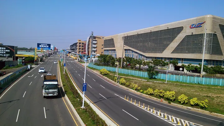
Photo adjustments
Full frame retained; proportionally resized and converted to WebP. No retouching or changes to the photographed subject. Card displays may crop the view.
- Administrative area
- District · 區
- Part of
- Taichung City
- Chinese name
- 沙鹿區
- Local areas
- District guide
Area & population
- Area in the source
- 40.46 km²
Source: cited geographic source, as of the dates shown.
Sport and an illuminated bridge
Taichung Port District Sports Park (臺中港區運動公園), despite its harbour-related name, stands in Shalu on Ziqiang Road (自強路). It includes a regulation roller-skating rink and indoor sports spaces. Shalu Wings (沙鹿之翼) is a pedestrian bridge crossing Section 7 of Taiwan Boulevard (臺灣大道七段); coloured LED lights illuminate its structure and cables at night.
A hillside dining outlook
Taoyue Scenic Cafe (滔月景觀咖啡廳) has indoor and outdoor dining areas and a broad viewing platform overlooking city lights. The district’s named night markets include Lufeng (鹿峰), Jingyi (靜宜) and Gongming (公明). Peanuts and pork products appear among its local produce.
Sources for this guide
〖宅.在臺中|沙鹿區〗 · Taichung Tourism and Travel Bureau
Shalu District · Wikipedia contributors · CC BY-SA 4.0
Original English written from the listed sources and checked sentence by sentence against quoted extracts by a separate reviewer. Updated 2026-09-30.
Explore Shalu District
Core places to explore, with English and Chinese names.
Shalu District 沙鹿區
Plan your visit
Getting there
Shalu District is about 15 km in a straight line from central Taichung City. Search for 沙鹿區 in a map app to find stations and your accommodation.
Where to stay →More in Taichung City
Sources & geographic information
Administrative names and parent areas: Official geographic directory · Reference date 2026-09-06.
Some facts checked against Shalu District — Wikipedia contributors, CC BY-SA 4.0.
Map data © OpenStreetMap contributors. Pins mark approximate centres, not entrances or boundaries.