


Get to know Waipu District
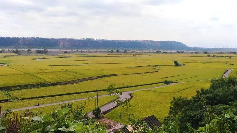
Photo adjustments
EXIF orientation normalized; resized without changing aspect ratio; converted to WebP. No subject edits.
- Administrative area
- District · 區
- Part of
- Taichung City
- Chinese name
- 外埔區
- Local areas
- District guide
Area & population
- Area in the source
- 42.00 km²
Source: cited geographic source, as of the dates shown.
A channel flowing east
The 2.4-kilometre Shuiliudong Tung Flower Trail (水流東桐花步道) follows a man-made irrigation waterway. Its name refers to water flowing east, an arrangement designed for local agricultural needs. Residents planted tung trees along both sides of the channel. Their white flowers fall in April and May, giving rise to the seasonal nickname “May snow”.
Trees and passing trains
The 260-metre Baiqianceng Trail (白千層步道) runs between Shuitou First and Second Roads (水頭一路、二路) in Liufen Village (六分里). Tall trees line both sides, with distinctive bark and white flower spikes. At the end of the Shuiliudong trail, the High-Speed Rail Observation Deck (高鐵觀景台) looks across open fields; passing trains run only a few metres away.
Sources for this guide
白千層步道-童樂Q臺中 · Education Bureau of Taichung City Government
高鐵觀景台-童樂Q臺中 · Education Bureau of Taichung City Government
水流東桐花步道-童樂Q臺中 · Education Bureau of Taichung City Government
Original English written from the listed sources and checked sentence by sentence against quoted extracts by a separate reviewer. Updated 2026-09-27.
Explore Waipu District
Core places to explore, with English and Chinese names.
Waipu District 外埔區
Plan your visit
Getting there
Waipu District is about 20 km in a straight line from central Taichung City. Search for 外埔區 in a map app to find stations and your accommodation.
Where to stay →More in Taichung City
Sources & geographic information
Administrative names and parent areas: Official geographic directory · Reference date 2026-09-06.
Map data © OpenStreetMap contributors. Pins mark approximate centres, not entrances or boundaries.