


Get to know Wuri District
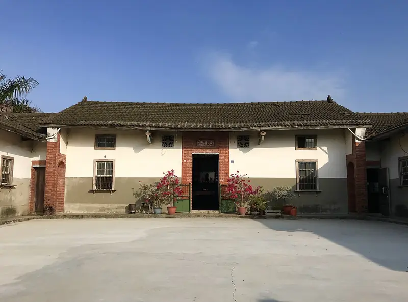
Photo adjustments
EXIF orientation normalized; resized without changing aspect ratio; converted to WebP. No subject edits.
- Administrative area
- District · 區
- Part of
- Taichung City
- Chinese name
- 烏日區
- Local areas
- District guide
Area & population
- Area in the source
- 43.00 km²
Source: cited geographic source, as of the dates shown.
Two architectural traditions
The two-storey main block has Western-style façades, while the side wings follow a southern Fujian U-shaped courtyard arrangement. Red-brick walls, rounded arcades, tall columns and modelled clay decoration give visitors many details to examine. Curving lines run across the corridor façades, and some windows take a ruyi (如意) form.
Wishes built into the house
Kui (奎) refers to the star associated with examinations and official careers, explaining the name carved on the upper façade. Ruyi motifs express wishes that life should go well. The inscription Ruiqi Xiangyun (瑞氣祥雲) similarly conveys good fortune and prosperity, placing auspicious language alongside the architectural ornament.
Explore Wuri District
Core places to explore, with English and Chinese names.
Wuri District 烏日區
Plan your visit
Getting there
Wuri District is about 8 km in a straight line from central Taichung City. Search for 烏日區 in a map app to find stations and your accommodation.
Where to stay →More in Taichung City
Sources & geographic information
Administrative names and parent areas: Official geographic directory · Reference date 2026-09-06.
Map data © OpenStreetMap contributors. Pins mark approximate centres, not entrances or boundaries.