


Get to know Qira County
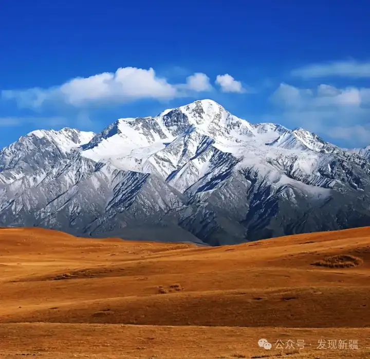
Photo adjustments
EXIF orientation normalized; resized without changing aspect ratio; converted to WebP. No subject edits.
- Administrative area
- County · 县
- Part of
- Hotan Prefecture
- Chinese name
- 策勒县
- Local areas
- County guide
Area & population
- Area in the source
- 31,688.01 km²
- Population · 2020
- 157,792
- Administrative seat
- Qira Town
Source: cited geographic source, as of the dates shown.
Three excavated temple sites
Damagou lies about thirty kilometres east of the county seat and four kilometres from National Highway 315. The first site, known as the Small Buddhist Temple, was excavated in 2002; a site museum was completed in August 2007. A second temple, covering about four hundred square metres, was excavated in 2006, followed by the third in March 2010. Together the remains preserve evidence of Buddhist architecture, murals and sculpture from ancient Khotan (于阗).
Meadows beneath ice and snow
The Kunlun scenic area was developed jointly by Qira and the Fourteenth Division’s First Pasture (第十四师一牧场). Its landscape includes alpine canyons, Kuli Lake (库里湖), coloured springs, meadows and glaciers. Snowy peaks, ice and high-altitude grassland occur at different elevations.
Explore Qira County
Core places to explore, with English and Chinese names.
Places to explore around Qira County
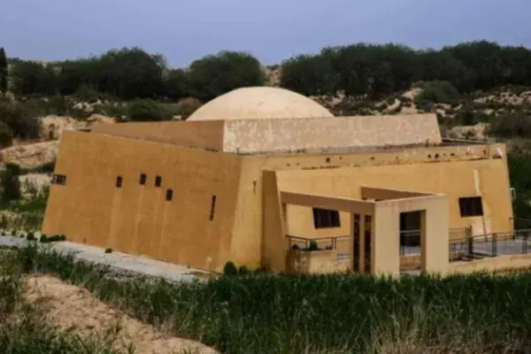 Damagou Buddhist Site Museum ·
 Plan your visit
Getting there
Qira County is about 80 km in a straight line from central Hotan Prefecture. Search for 策勒县 in a map app to find stations and your accommodation.
Where to stay →Build your route
Start with Damagou Buddhist Site Museum. The linked place guides have entrance and visit details.
Continue with Hotan Prefecture →More in Hotan Prefecture
Sources & geographic information
Administrative names and parent areas: Official geographic directory · Reference date 2026-09-06.
Photo: Damagou Buddhist Site Museum · Source photographer · License not provided. EXIF orientation normalized; resized without changing aspect ratio; converted to WebP. No subject edits.
Map data © OpenStreetMap contributors. Pins mark approximate centres, not entrances or boundaries.